Introduction
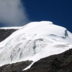
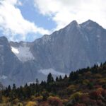
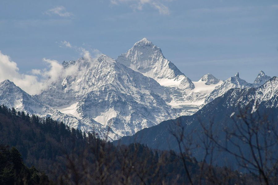
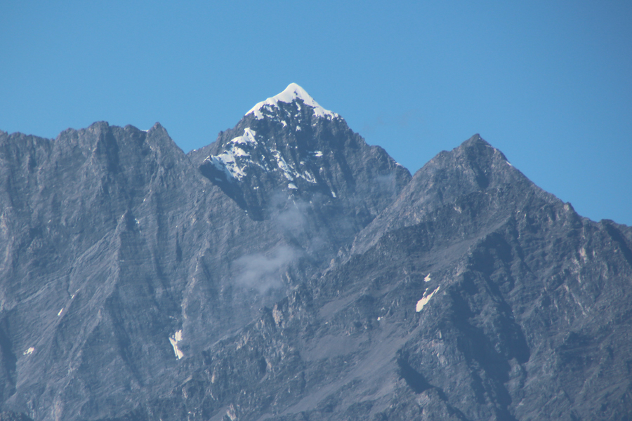
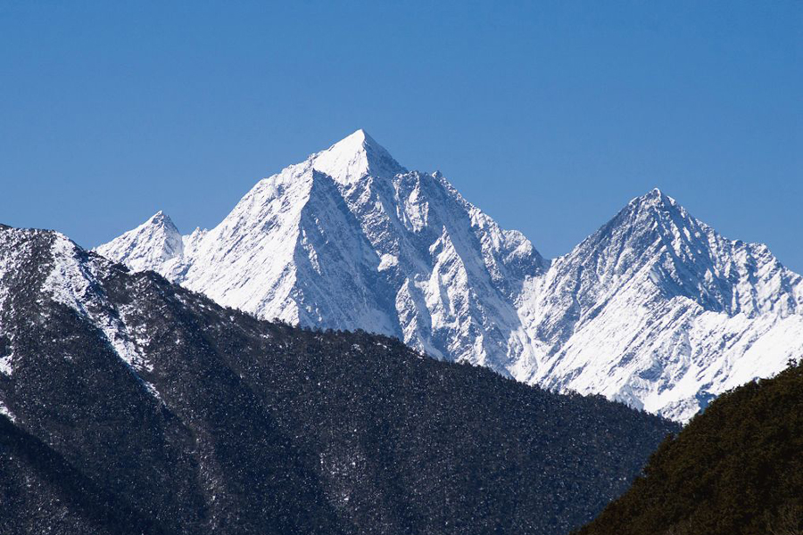
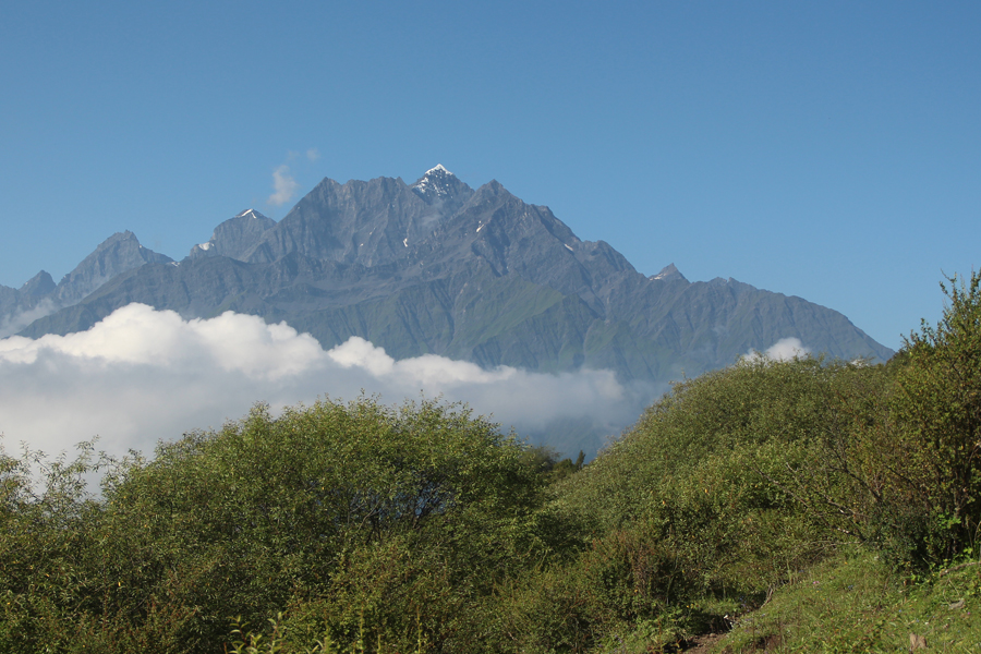
Mt. Dahuang is also called Mt. Logshen Roda, it is a 5922 meters mountain that located between Jiasikou Dao Valley, Taizi Valley and Bipeng Valley.
Mt. Dahuang is one of the highest mountains in Qionglaishan Range, ranking the second after Mt. Yaomei (Siguniang) that is 6250 meters. Mt. Dahuang has three ridges by its northeast, northwest and south. By its northeast and south ridges there are sides peaks that are over 5700 meters. The difference between the bottom of valley to the summit is huge. Base of the mountain is usually at around 3000 meters or lower. Due to its difficult access and its height, Mt. Dahuang is believed to be one of the hidden mountains in Sichuan.
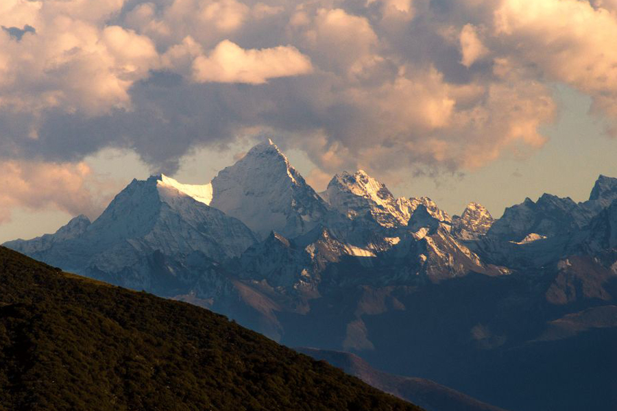
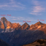
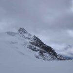
There were attempts to this peak since the openning of the mountains but it was only summited in 2006 by a Chinese team. There are several side peaks that are over 5600 meters.
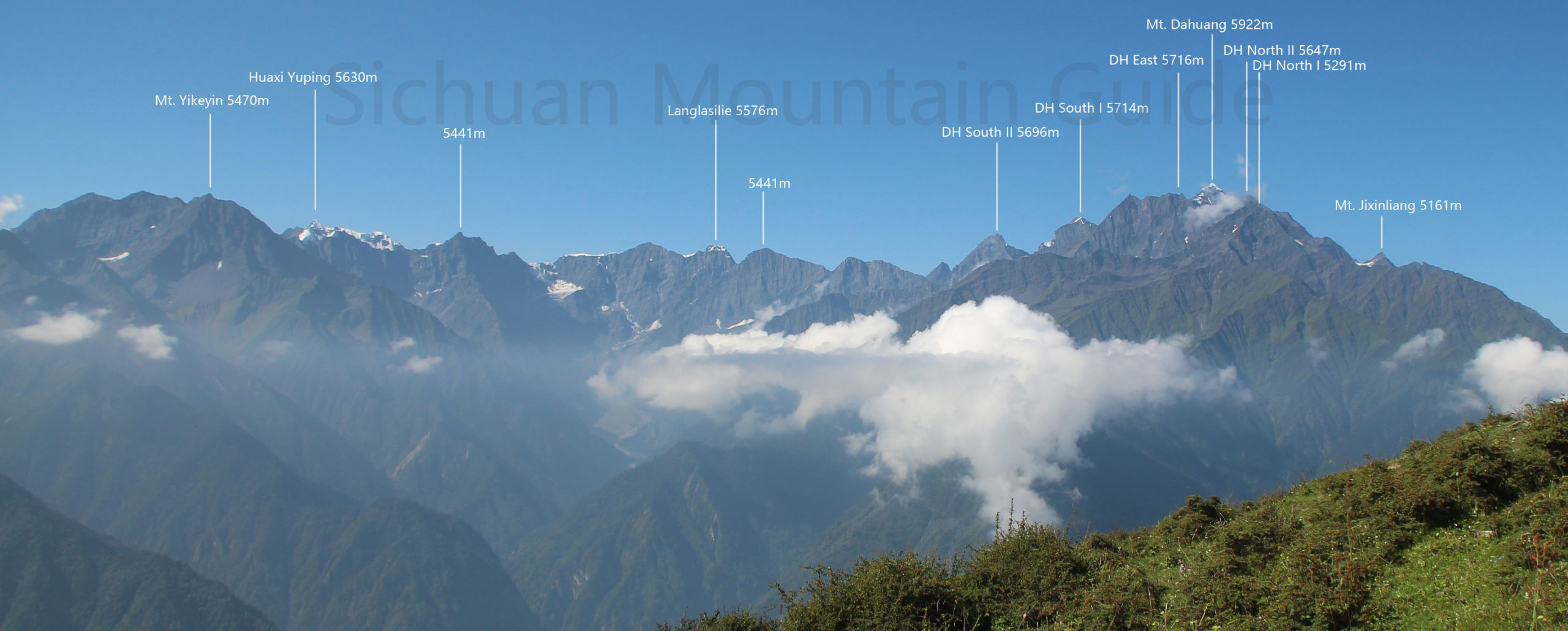
5716-m side peak is locatd by the north ridge by around 1km to the main peak. This side peak is also the second highest peak in this region.
5714-m side peak is located by the south ridge of the main peak around 1.5km. Southwest to this 5714-m mountain is 5612-m Mt. Madaozi.
5696-m side peak is located by the south of the ridge.
5674-m side peak is 1.2km north to the main peak of Mt, Dahuang.
5291-m side peak is the northernmost side peak of Mt. Dahuang. It’s the first mountain you see from its north.
Climbing season
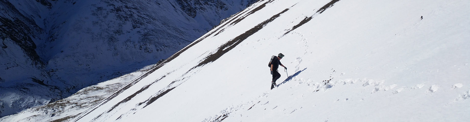
Spring and autumnThere is a lot of snow and strong wind in spring. The weather is stable in winter, with low temperatures and low winds.Qionglaishan Range is located in the transitional area from the mid-subtropical monsoon climate to the continental plateau climate. Due to the plateau topography, the climate is cold in winter and cool in summer, all year round, and the rainfall is scarce. The annual precipitation is 1100-1600 ml. The precipitation is mainly concentrated in the rainy season (May-August). The natural vertical band spectrum of mountain is very representative. And the temperature changes drastically, the four seasons are not obvious, and the daily temperature difference is large, sometimes reaching more than 20C. The annual evaporation capacity is 1500 mm, the frost-free period is 220 days, the annual average temperature is 12.2°C, and the annual sunshine is 2214 hours.
The surrounding ravines are narrow, the terrain is complex, the drop is very large (the starting point of this mountaineering activity.