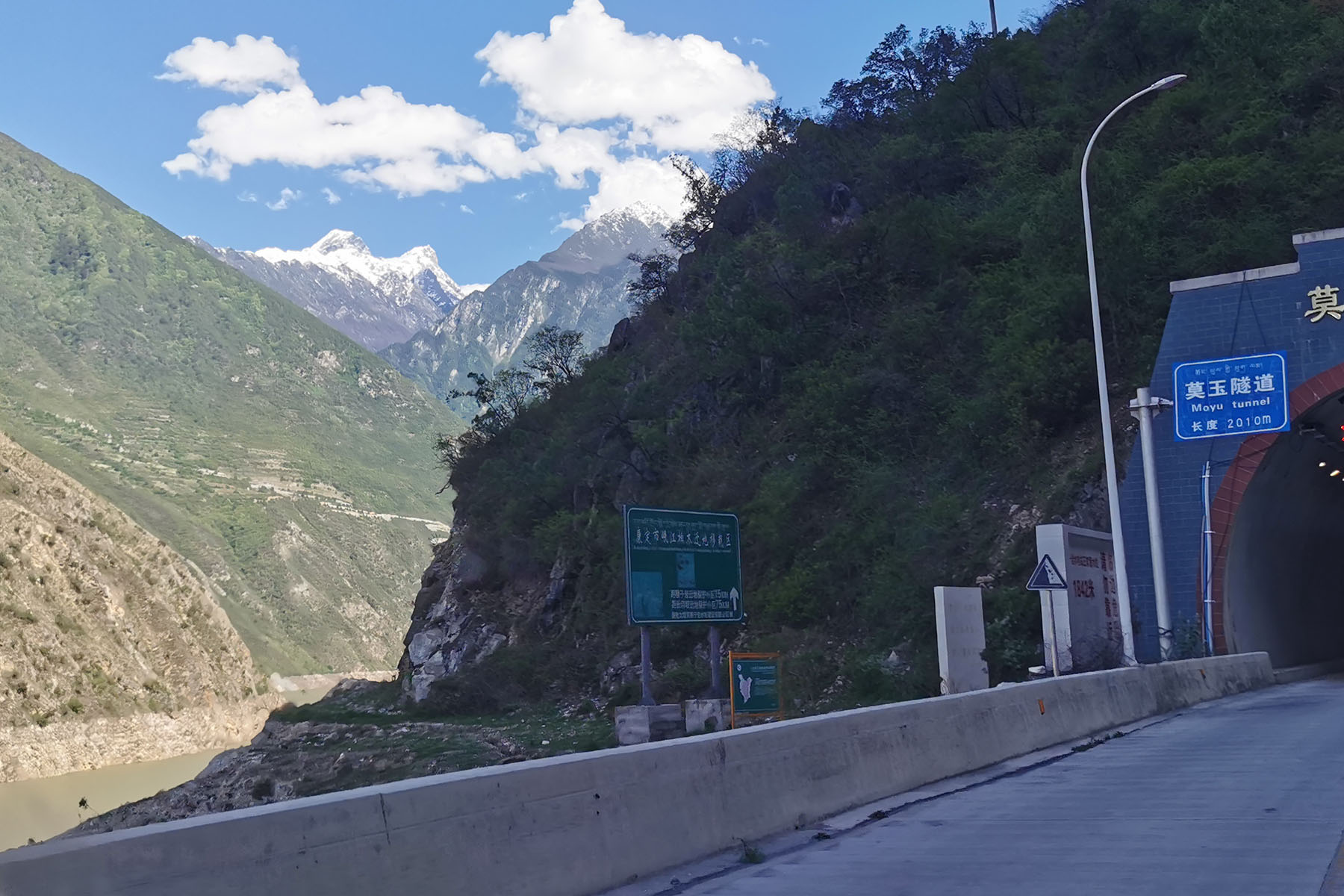
Jiajin Mountain Massif is part of Qionglaishan Range. It is located at the southern part of Qionglaishan Mountain Range. Because it covers a large area, some resources listed it as a seperate range. The Jiajin Massif is between Dadu River and Qingyi River. North of Jiajin Massif is south to Barkam town and south part of Jiajin is by Dadu River near Luding town. With its west being Daxueshan Range and its east the panda sanctuary, Jiajin Mountains are the least explored areas with prominent and climable mountains in China. Though the elevations are below 6000 meters but above 5000 meters mountains look really interesting.
Its northeast is adjacent to the central Qionglaishan Range, the Siguniang Mountain Massif. Its southeast is bordering Ya’an panda habitat. The famous Red Army Long March once passed here, and the “Jiajinshan” that they walked over was near today’s Jiajinshan Road Pass that is in the northeast (near Dawei) part of Jiajin Massif.
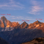
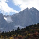
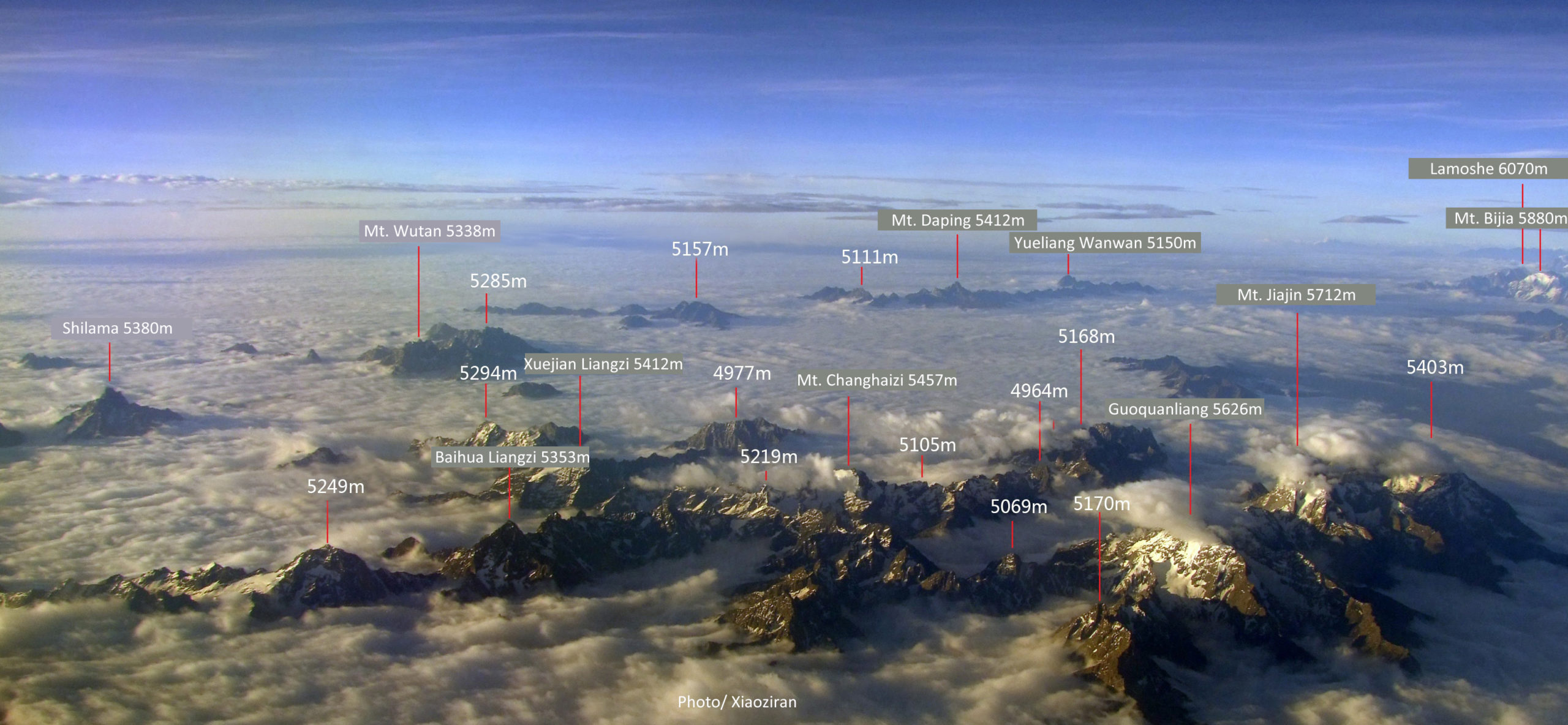
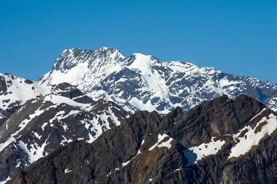
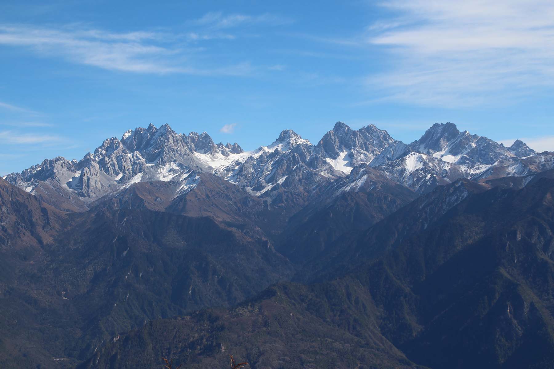
Jiajin in Tibetan language was originally called “Jiaji”, which means that the road is curved and tricky. For a long time, the image of central part of the region where most of its higher peaks are located are rare. Mountaisn here include the main peak that is 5734m, Mt. Guoquanyan that is 5626m, Mt. Shilama that is 5380m, Mt. Wutan 5338m, Mt. Daping is 5412m, the Mt. Changhaizi 5457m, and Mt. Zilong 5412m.
Mountains
Noth to Xiaojinchuan River.
Xiaojinchuan River (Small Jinchuan River) originates from Mt .Siguniang. The river goes from east to west via Xiaojin County and joins Dajinchuan (Big Jinchuan River) and some other rivers and become Dadu River. North to Xiaojinchuan River are some lower mountains in Jiajin Massif. In general this part is also called Sowu Mountains and Muma Mountains.
Mt. Sowu is 5175-m above sea level. It is the highest mountain in the north range of Jiajin. It can be accessed only from the valley by its east and then one can get to all sides of the mountain. It’s a prominent mountain looking from both east and west. It has three ridge lines by its north, south and east.
Mt. Gengri Haze is more to the north part of the mountains. It is 5068 meters above sea level and the highest mountain in Jinchuan County.
Mt. Guoquanyan is a ring of high points located in the northeast of this cluster of mountains. The highest point is at around 5035 meters.
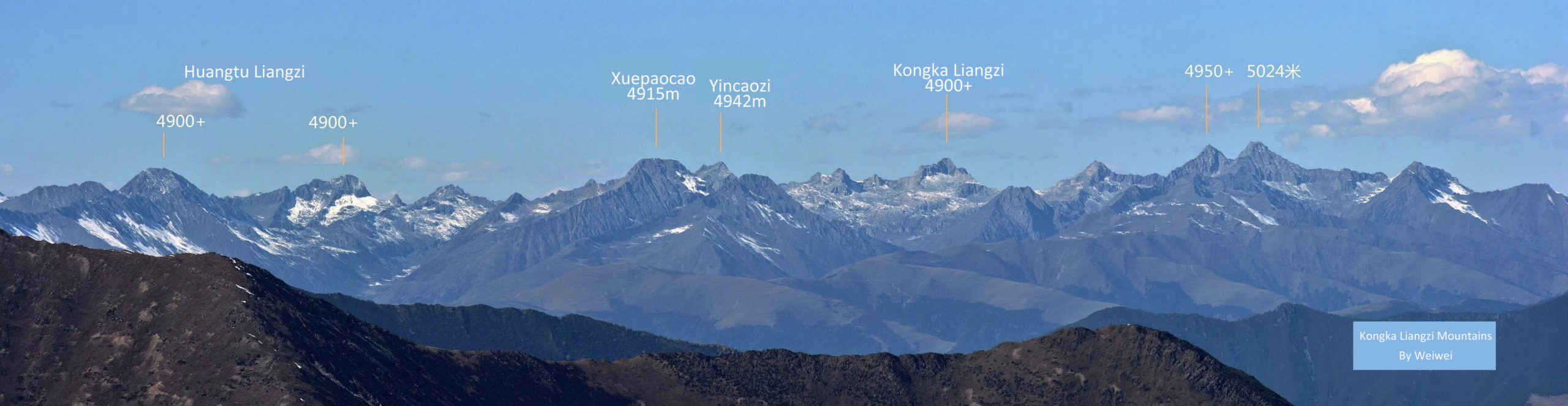
Mt. Konka Liangzi is 4950 meters and Mt. Fenshuiyan is 5024 meters. These mountains are close together located on the north bank of Xiaojinchuan River and north to Xiaojin Town. The north-south going Chongde Valley and Xinqiao Valley on both sides of the mountains are the access to the mountains here.
And there are many more mountains that are below 5000 meters not documented here.
South to Xiaojinchuan River
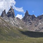
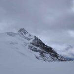
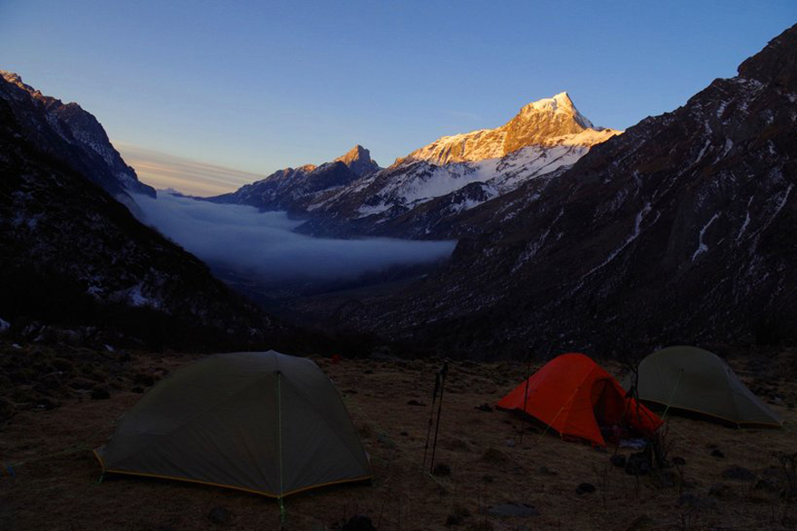
South to Xiaojinchuan River is where the higher mountains of Jiajin Massif located. Most of the mountains listed here have prominent lookings and probably the least explored areas among the unclimbed mountains in Sichuan due to its difficult access.
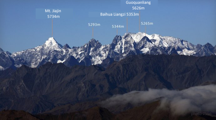
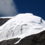
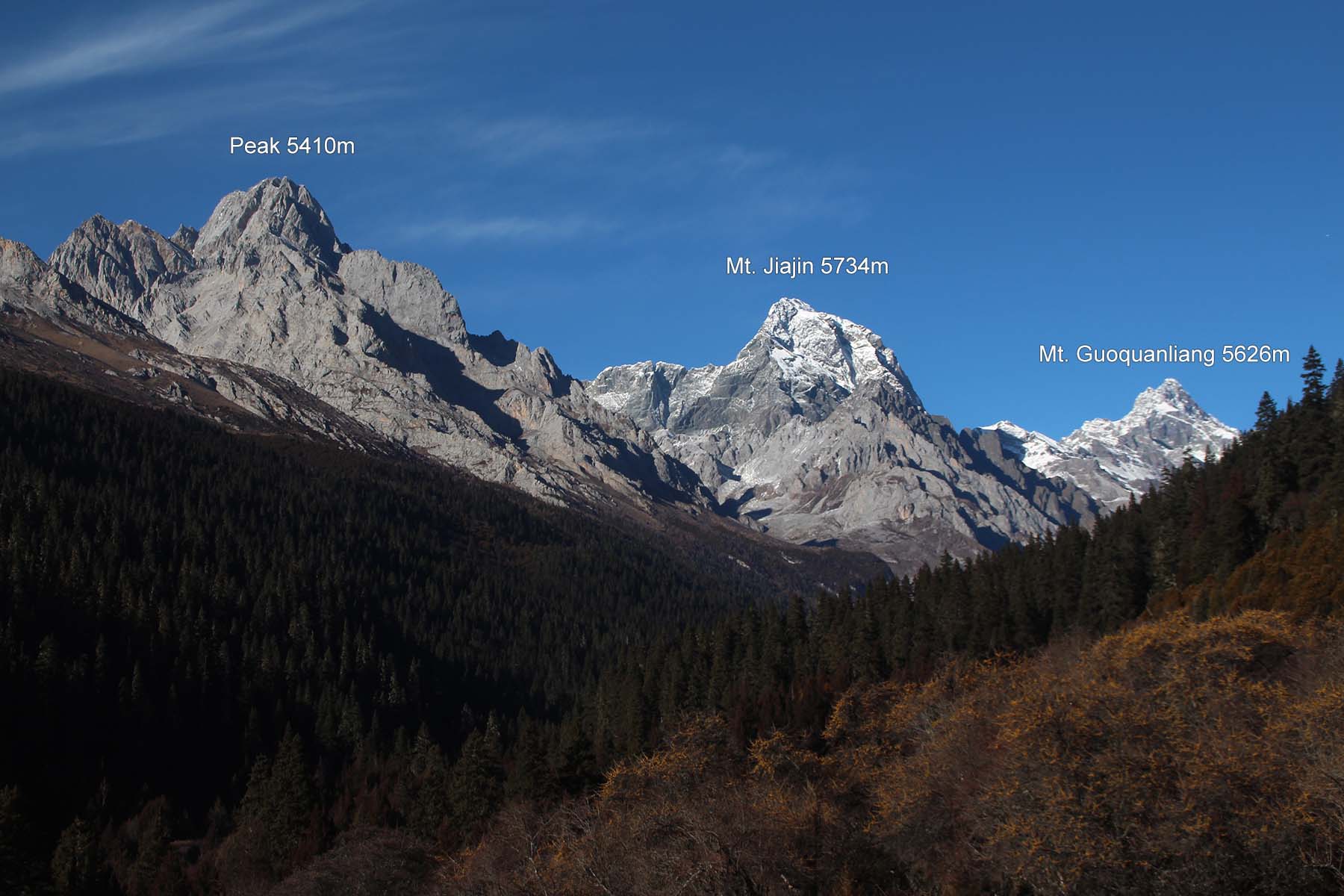
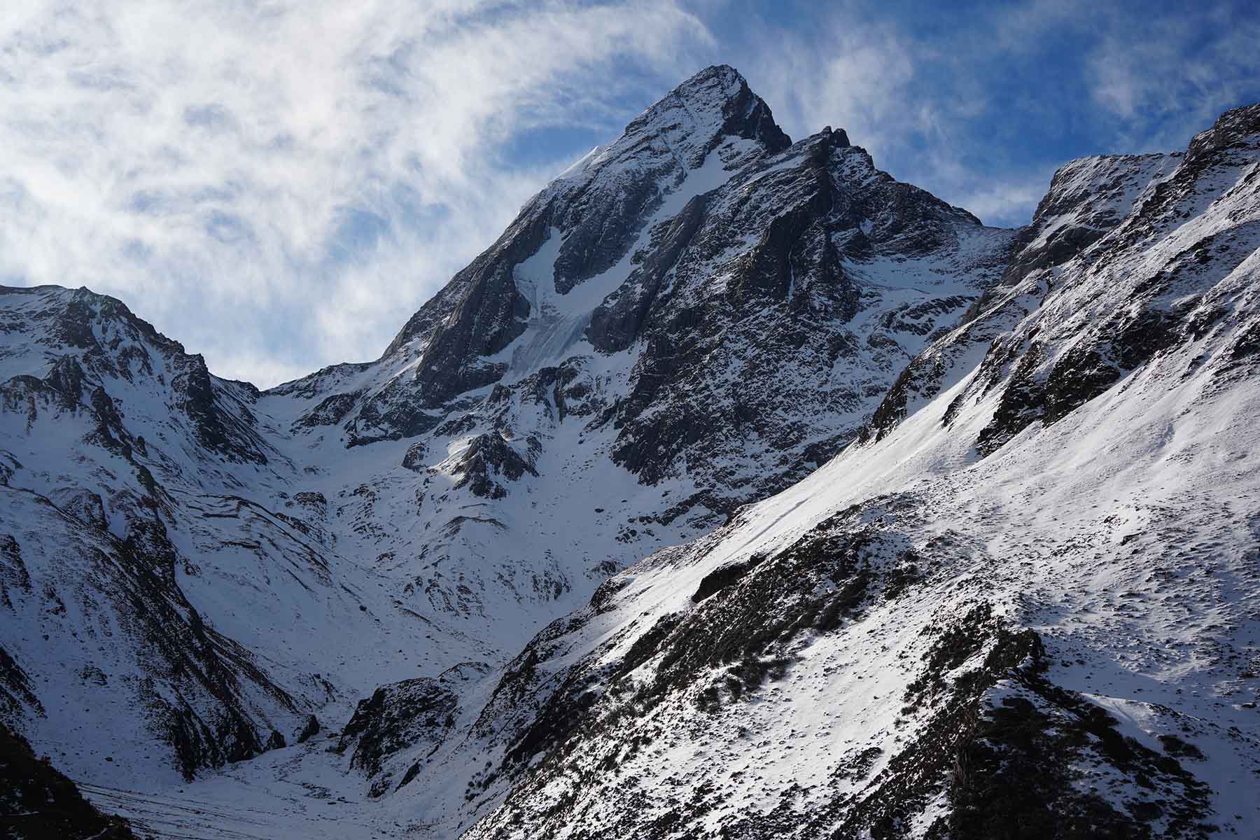
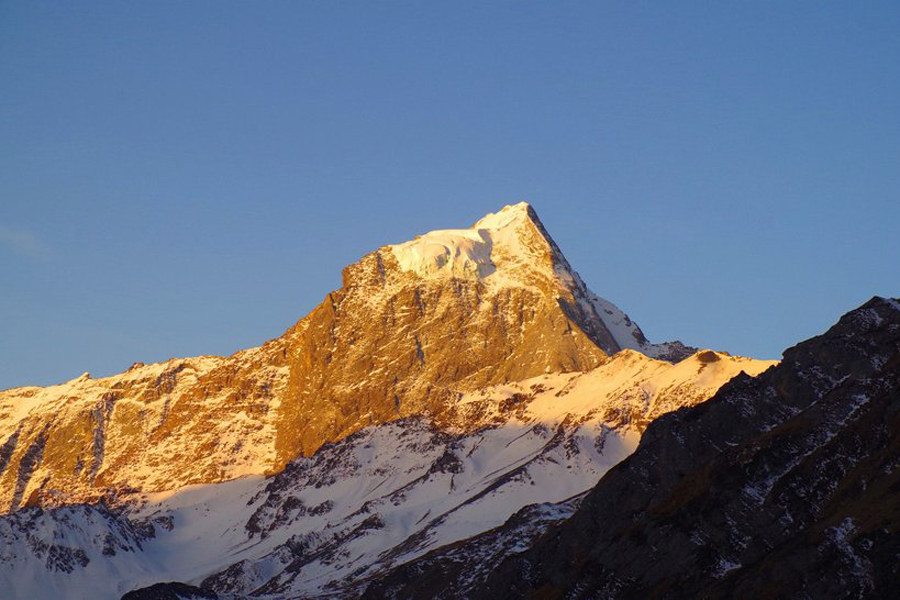
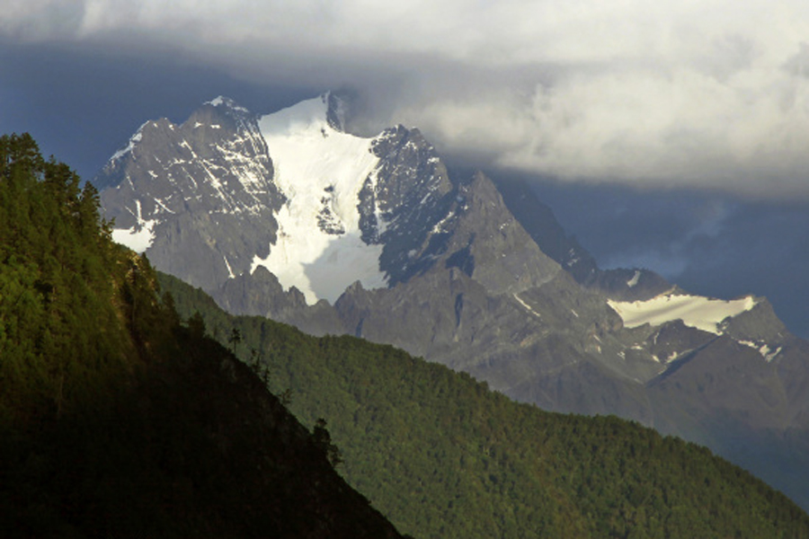
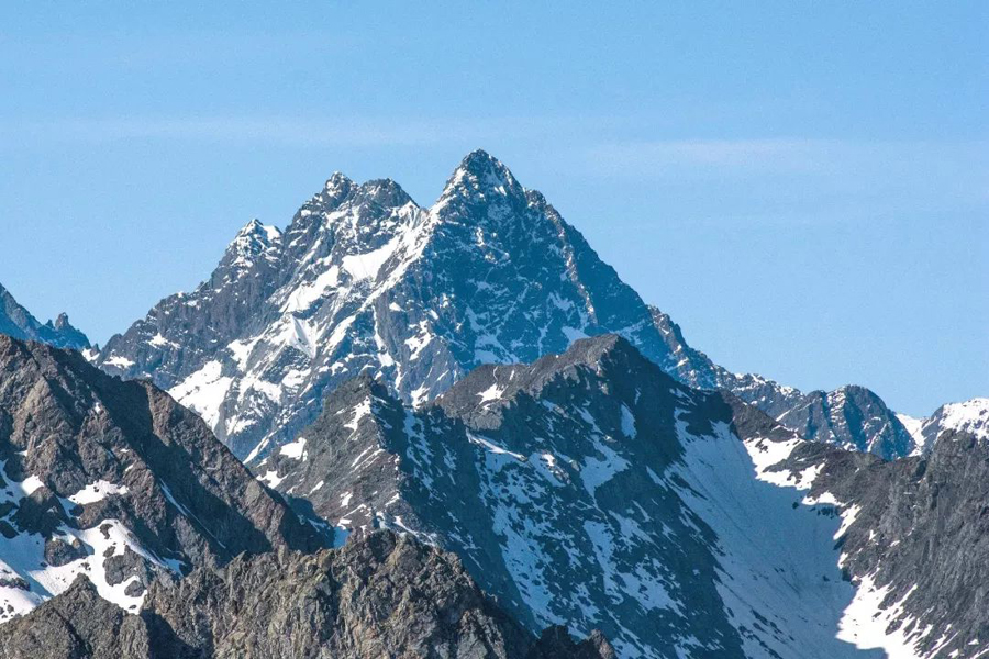
The Highest peak of Jiajin Massif is 5734 meters Mt. Jiajin. It is located at the west of the range across Dadu river with its west facing the north range of Daxueshan Range at northeast part of Yala Mountains. There are two mountains that are estimated t o be around 5300 and 5400 meters on its south ridge. To its north ridge is Mt. Guoquanliang.
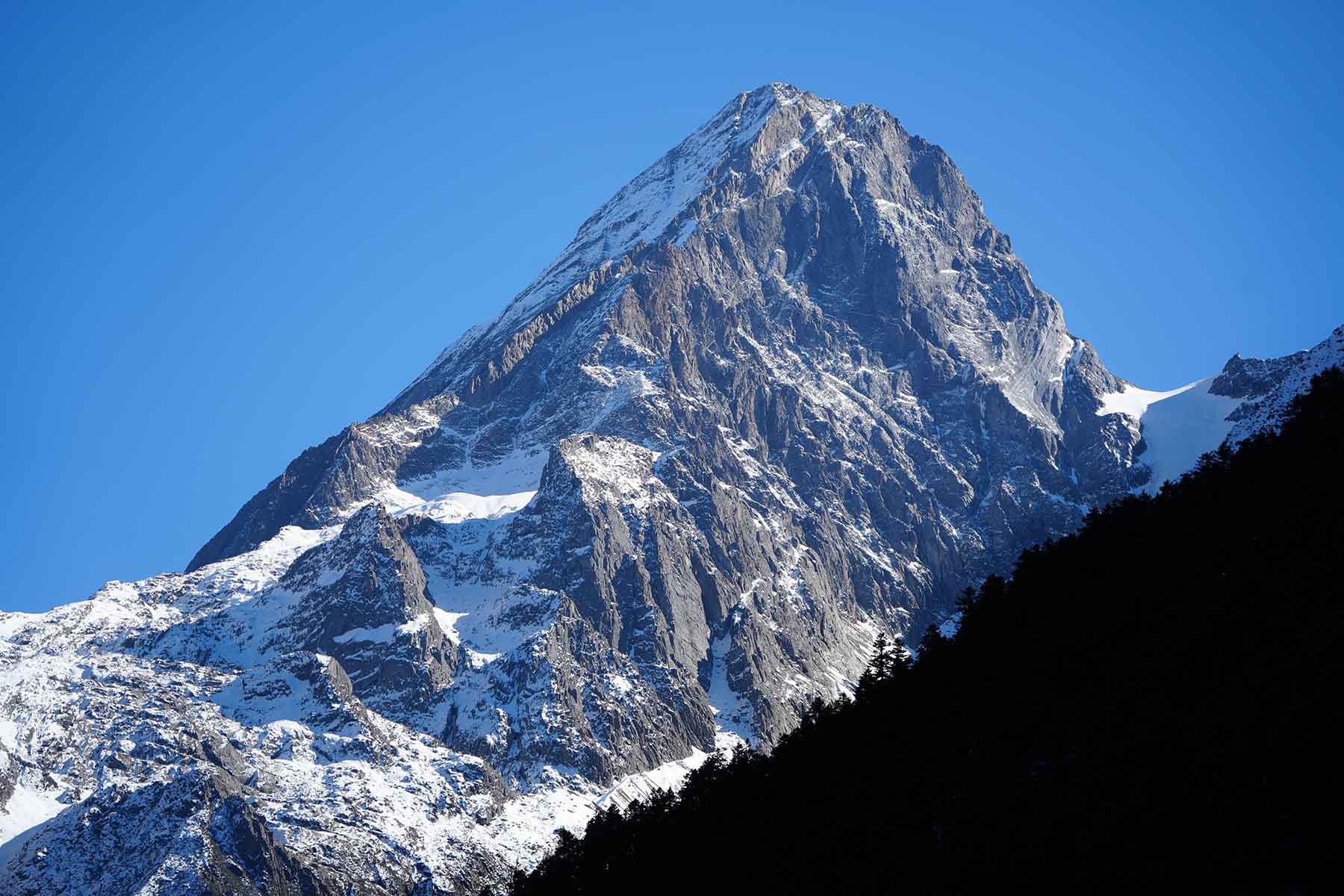
Mt. Guoquanliang is the second highest mountain of Jiajin Massif. Its elevation is at 5626 meters. This mounain has two ridges on its northwest side and one ridgeline on its south. There maybe glaciers no all sides of the mountain.
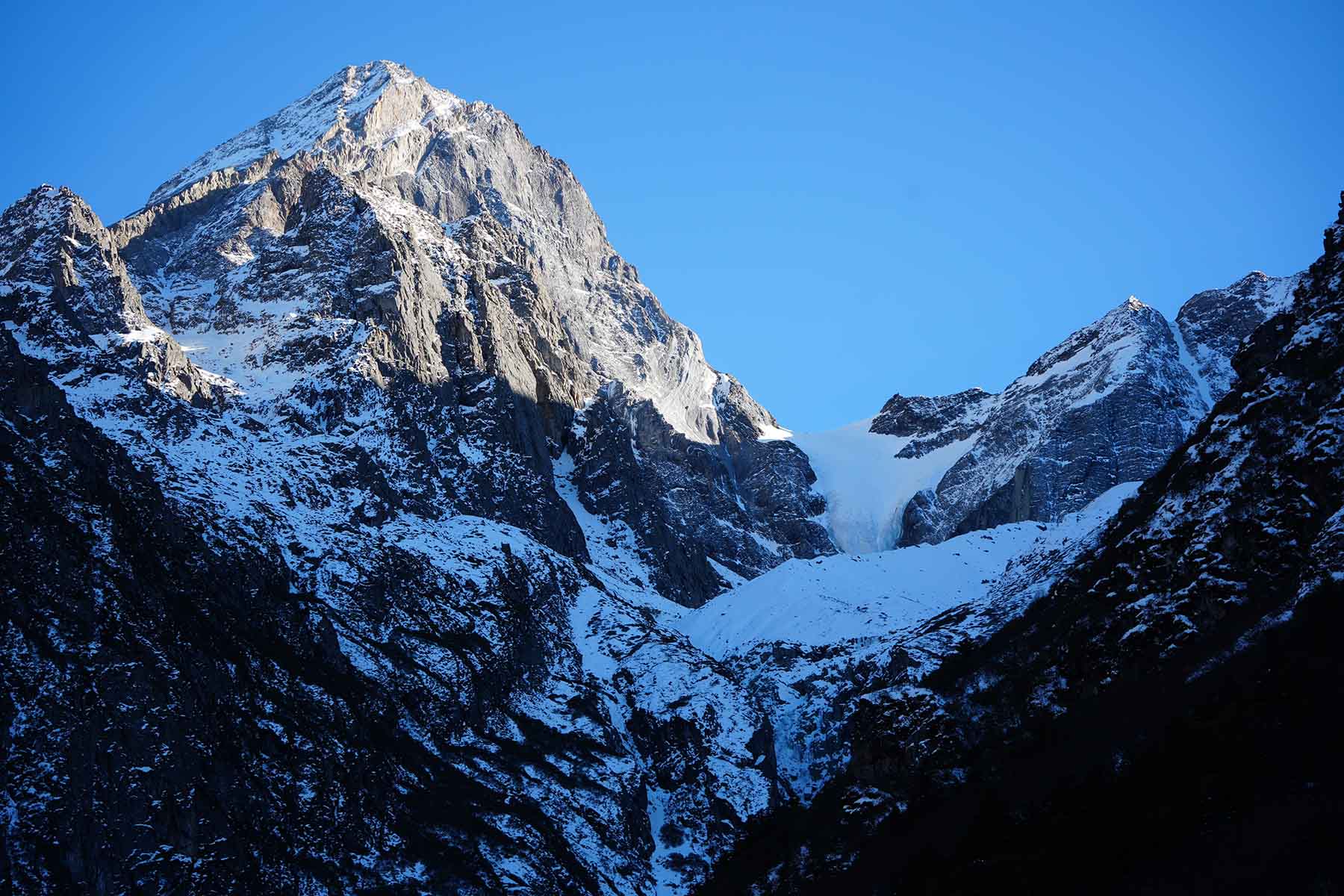
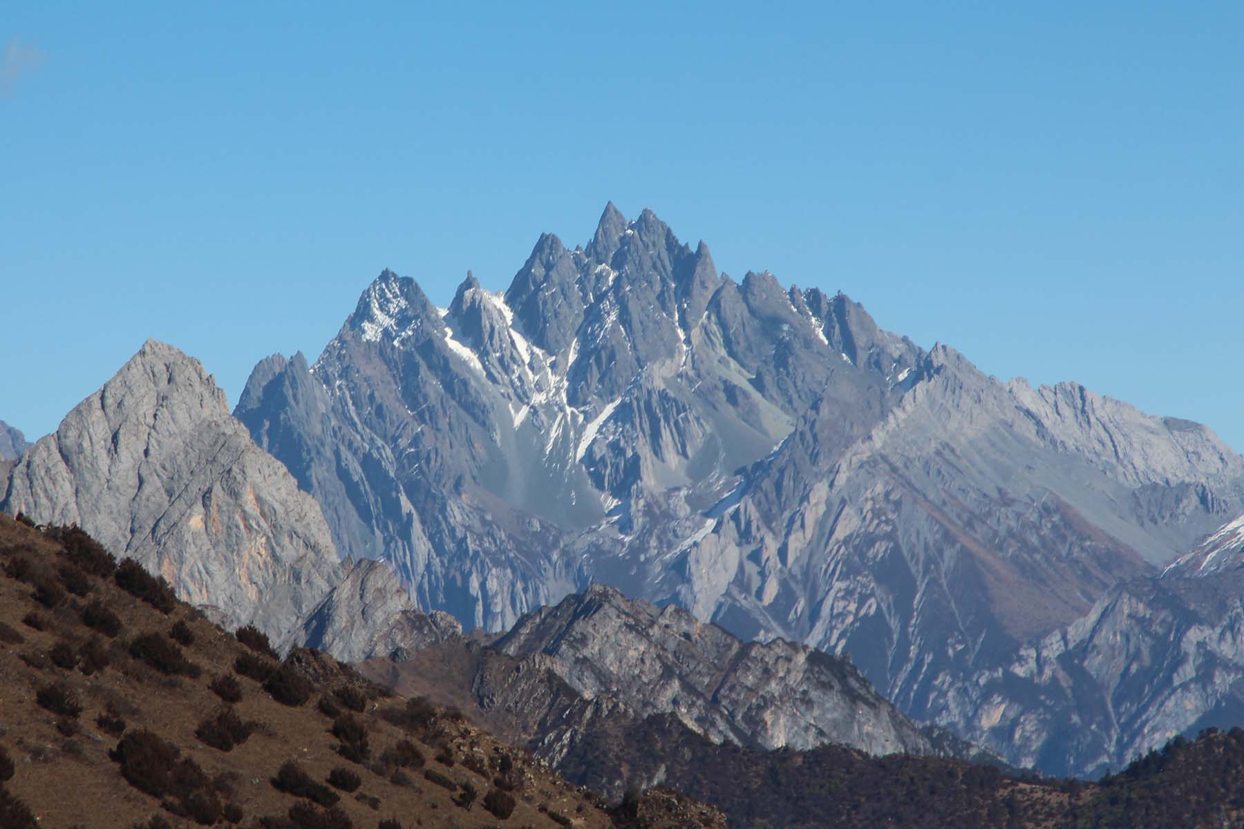
East to Mt. Guoquanliang there are several unnamed peaks that are over 5000 meters with the highest named by 7556 Mt. Changhaizi at 5475 meters estimated. Northeast to Mt. Changhaizi are 5353 meters Mt. Baihualiangzi and its side peaks. On the south ridge of Mt. Changhaizi there are several mountains that are about 5000 meters.
Mt. Xuejian Liangzi is 5412 meters east to Mt. Changhaizi.
Mt. Baihua is located northeast to Mt. Guoquanliang and is at 5353 meters above sea level.
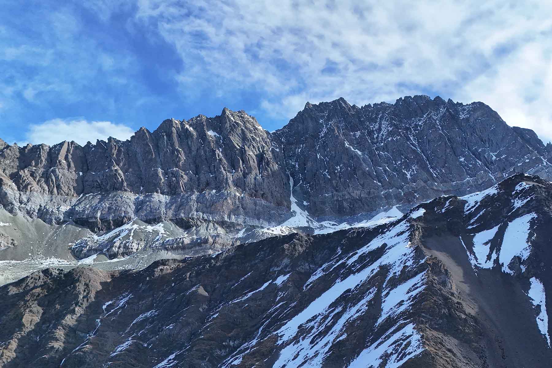
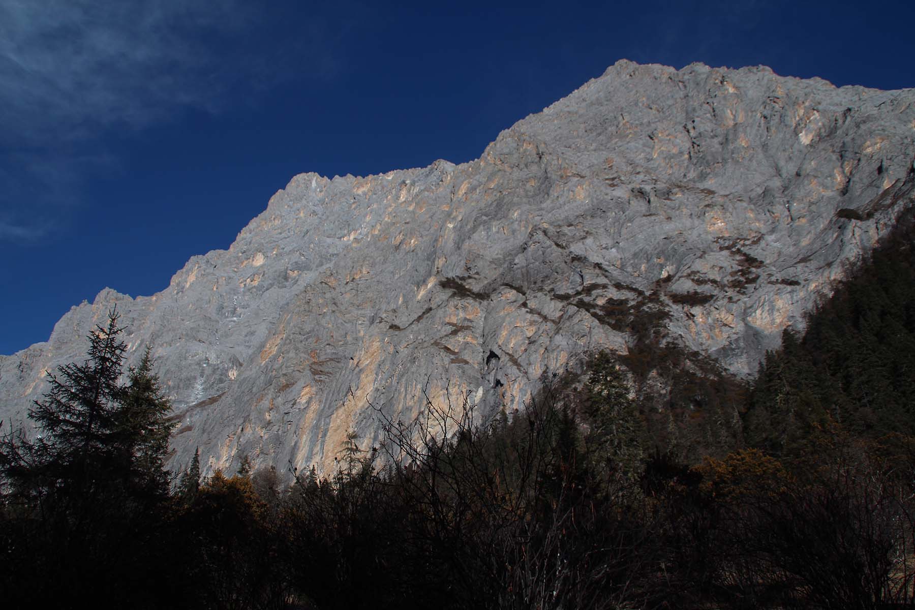
Mt. Wutan is also called Mt. Shizi. It is 5338 meters above sea level. East to Mt. Wutan is the tourist Valley Donglashan in Ya’an. There is no record of attempt of this mountain. There are several mountains with elevation around 5000 meters on its south ridge. North to Mt. Wutan there is a prominent mountain called Mt. Stone Lama that is at 5380 meters high.
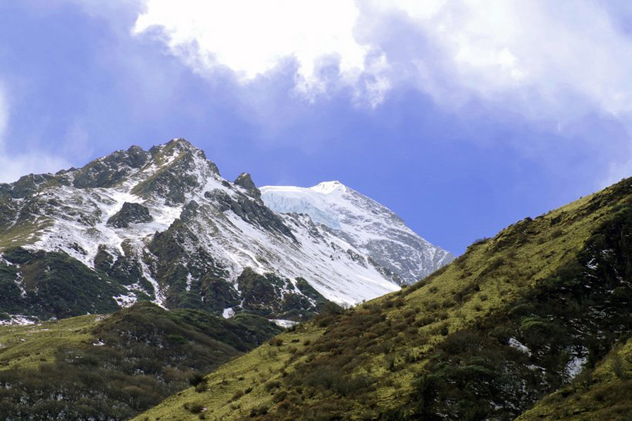
Mt. Flame is named by local mountain observer Sanjin due to its resemblence of flames. Its highest point is at around 5094 meters mountain located in the central part of Jiajin Massif. Mountains here are probably one of the most to access by foot before there is a basic road. Mountains here include Dawa Liangzi 5010 meters, Mt. Hello Kitty 4978 meters, Mt. Lujiao at 4955 meters, Mt. Mukeke at 4928 meters, Mt. Hailuo at 4900 meters, Mt. Jiadanwan at 4926 meters. Note all these mountains were only recently reported and photographed by a group of people in Chengdu including Sanjin-Jiarong. Some of the names were given by people who first reported them including 7556.
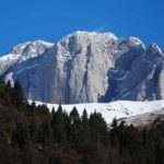
More south and the southern end of Jiajin Massif are a cluster of rocky mountains where its highest peak is called Mt. Daping at over 5400 meters. It faces Lotus Mountains of Daxueshan Range by its west with Dadu River in between.
Mt. Gema, Banma and Ama are three mountains located by the northwest part of this massif. Highest peak is Mt. Gema at 5216 meters. It’s the border mountains of Xiaojin County and Danba County.
Climate and Climbing Season
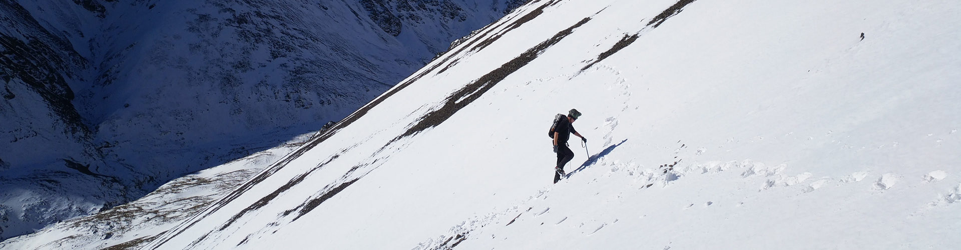
Due to the foggy and rainy east face of Jiajin, there are few attempts from its east. And road conditions are worse than the other mountains in Sichuan due to landslide in the summer. There were attempts from Dadu river to the main peaks of Jiajin but in recent years it get very quiet here. Given the long monsoon of east Jiajin Area, the climbing window is short for east approaches. West approached would also be autumn and spring time.