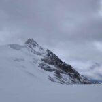
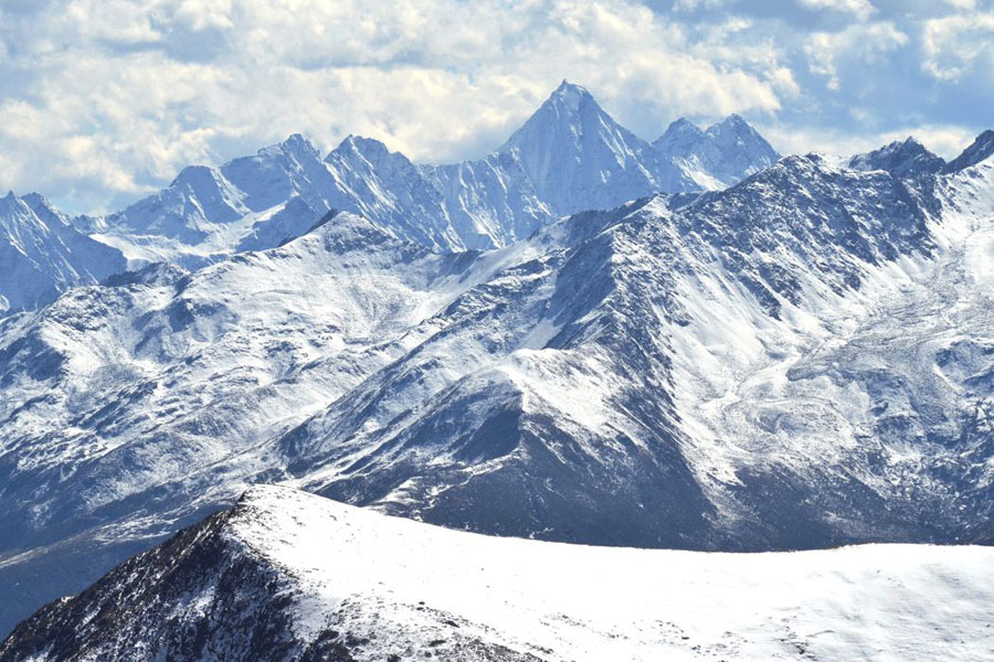
Hongqiao Mountains is a cluster of mountains located in the central part of Qionglaishan Range. It has several mountains that are over 5000 meters with the highest mountain Mt. Bawang at 5551 meters. This cluster of mountains is located between Fubian River (West) and Zagunao River (East) and Somo River (North). The other mountains include Mt. Menggu at 5441 meters, Mt. Sibogo at 5301 meters.
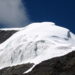
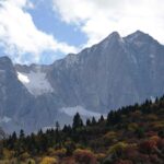
Mt. Bawang is the highest mountain in this massif. It is also called Shanwangding, meaning king top of mountain. It was first climbed by a Japanese team. A Chinese team climbed it in 2014 and measured this mountain at 5350 meters.
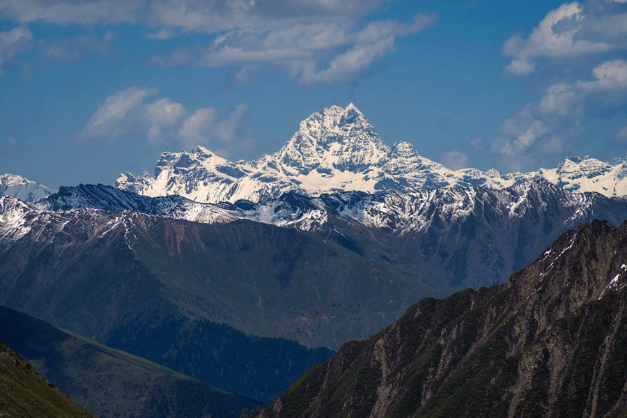
Mt. Bawang is located in the Jiujiapeng of Gu’ergou Qiudi Village, Lixian County, Aba Prefecture, Sichuan Province. Its southeast is accessed by Jiujiangpengou in Gu’ergou and its northeast is accessed by Menggu Village of Lixian County. Its west side is accessed via Fubian River of Xiaojin County. Bawang means the king, due to its prominance. On its west ridgeline there is a mountain called Mt. Songtang Weizi that is 5183-m above sea level. It is the furthest mountain in the norhern Huangtuliang Valley
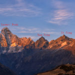
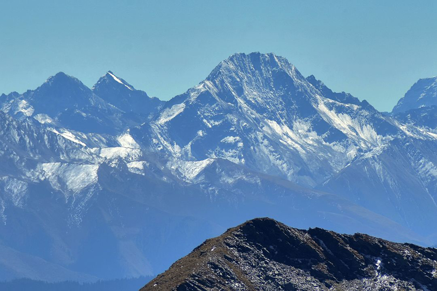
Mt. Menggu is the name of a cluster of mountains by the end of Honhqiao Valley in Qionglaishan Range. Its highest peak is at 5441 meters. It is also called Zhoga in local language, meaning “white bird”. The lower peaks of Menggu are at around and over 5000 meters incluidng 5280-meter and 5260-m mountain on its south ridge, 5201-m and 5183-m, 5033-m and 5094-m mountains on its northeast ridge.
Mt. Sibogo is located on the border of Barkam, Lixian County and Xiaojin County. It is the highest point of Barkam at 5301 meters. It is also called Mt. Yuhaizi. North to main peak of Sibogo there is mount 5104-m, Mt. Daopian Liangzi at 5084m.
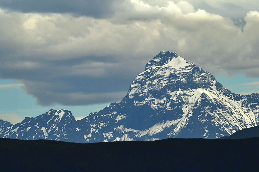
M. Qionglai is located southwest to Mt. Sibogo. This mountain shares the same name of its range Qionglaishan. Its name is found from old maps. Mt. Qionglai is 5275 meters above sea level.
Mt. Yueya is lcoated between Suolo Valley of Lixian and Upper Daogou of Dengjia Valley of Xiaojin. It has several peaks that are over 5000 meters with the highest point at around 5200 meters. Another ridge comes out from between Mt. Bawang and Mt. Yueya that goes east, has two mountains at 5057 and 5112 meters.
Mt. Hongqiao is located west to Menggu. It is around 5200 meters high.
Mt. Daogou is at around 5200 meters. It is one of the mountains located by the end side valleys of Kanzhu Valley that goes northward out to road G317. The other two mountains are Mt. Sibogo and Mt. Qionglai.
Mt. Liandao is a mountain located by the south of Hongqiao Valley at around 5200 meters, with another 5160-meter mountain together called Liandao.