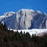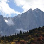
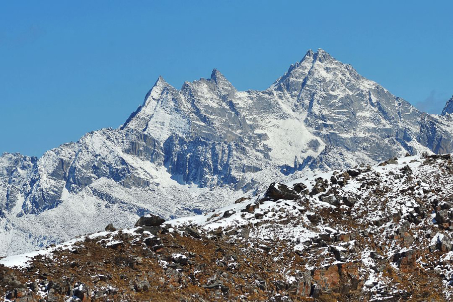
Dabai Mountains is a subrange located in the northern part of Qionglaishan Range. Its north is Heishui County and its south is Lixian County. East of the mountains is Minjiang River. It joins Zhegu Mountains by its west. The highest peak is Mt. Wushaolue at 5230 meters.
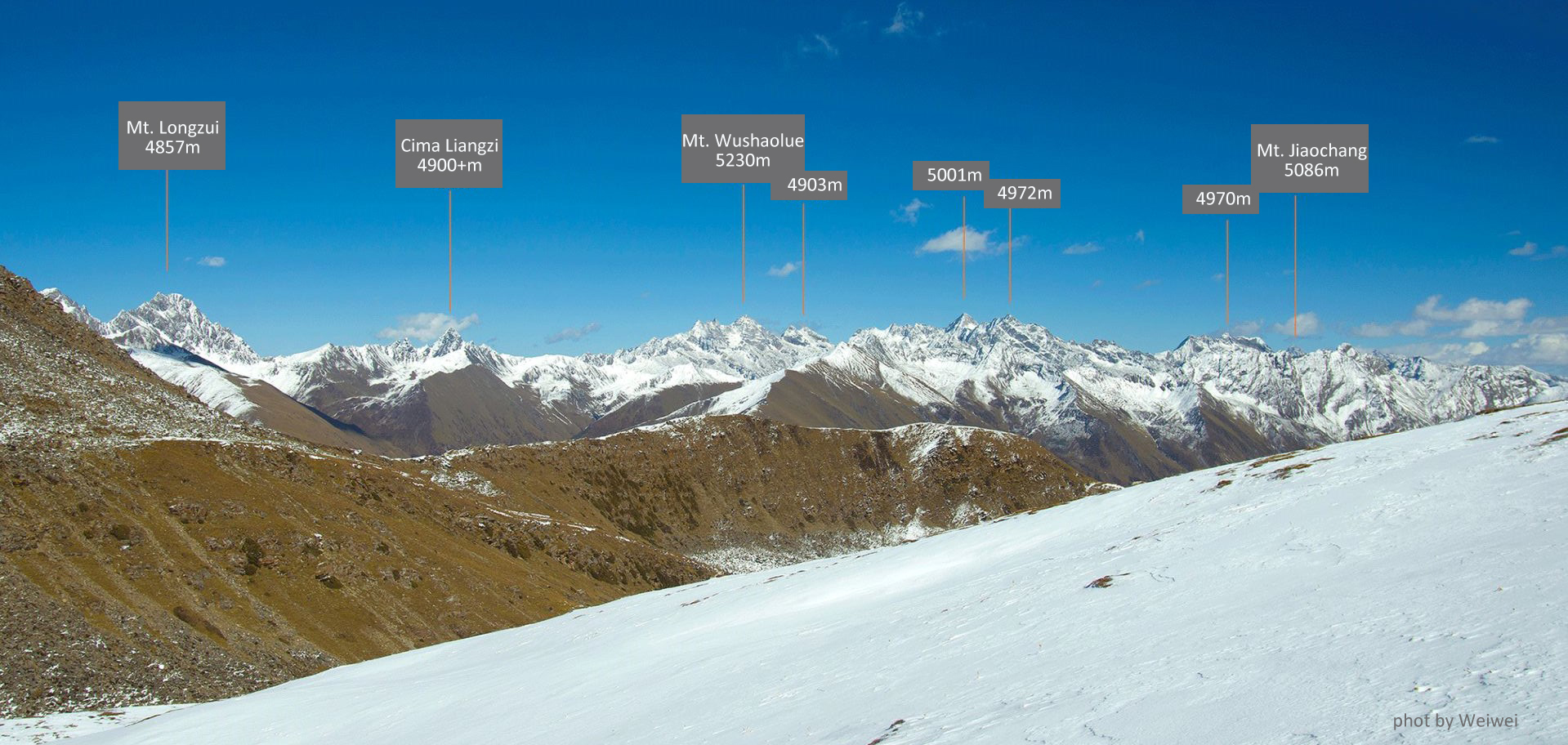
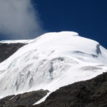
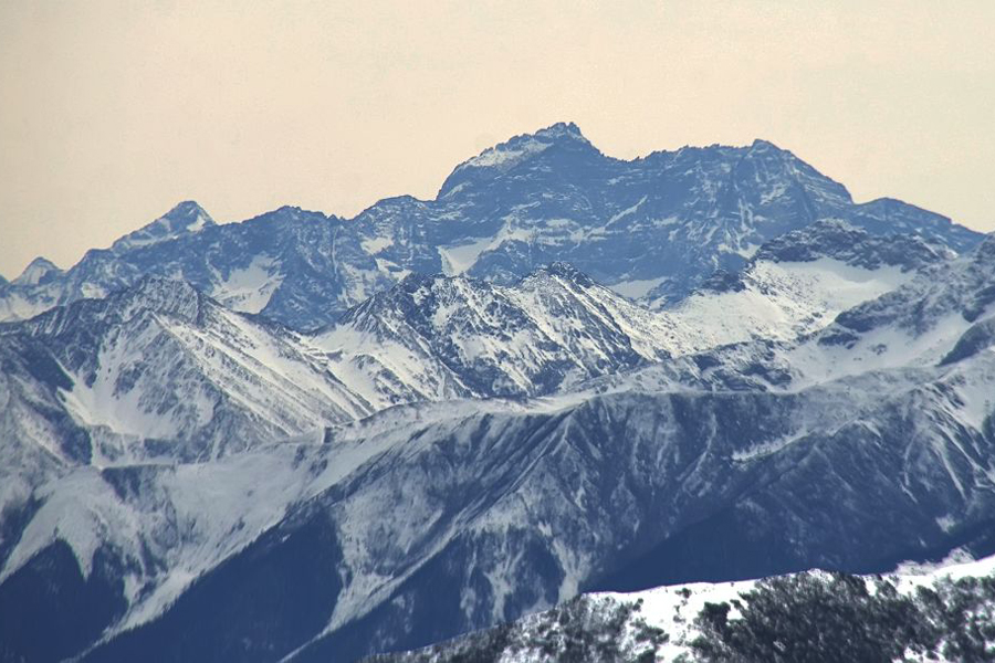
Mt. Wushaolue is 5230 meters. It is also called Wannianxue (Ancient Snow). It is the highest mountain in Maoxian County. East to Mt. Wushaolue is Mt. Gewohe at 5194 meters, and south to Mt. Gewohe is Mt. Zuopeng at 5019 meters. These three mountains are the highest ones in this part of Qionglaishan Range and located by the end of Mengdun Valley.
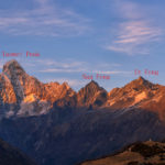
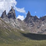
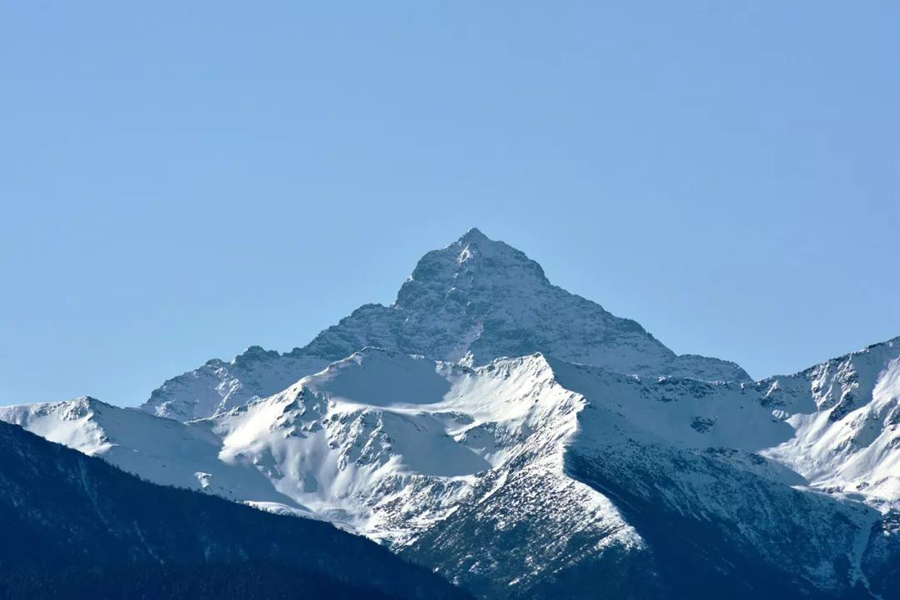
The holy mountain Shir Jisdo is at 5138 meters. It’s a holy mountain for the local people of Mengdun. It has another name by the Qiang people from its north called Gormani. East to Gormani is a mountain at around 5100 meters called Mt. Jiaochang. The 5030 Mt. Biejugo is located above the Changhaizi Lake. Biejugo means “Head of Mouse” according to local Qiang people. Between Mt. Jiaochang and Mt. Biejugo is the mountain called Mt. Banku at 5023 meters. Mt. Banku is located by the end of the northern Yipi Valley.
East of Dabai Mountains are some 4500+m mountains not documented here.