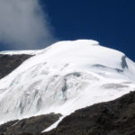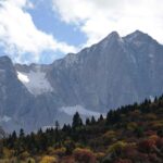
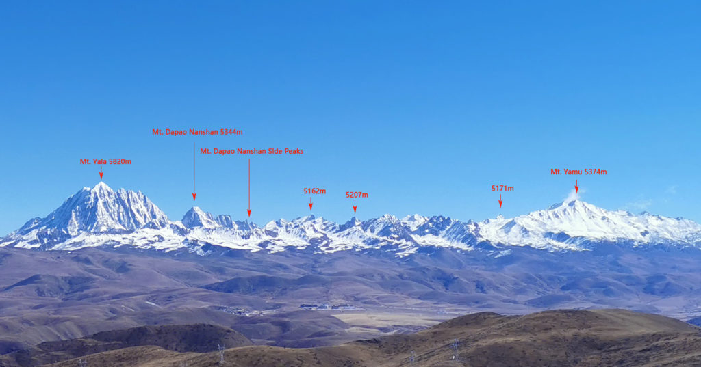
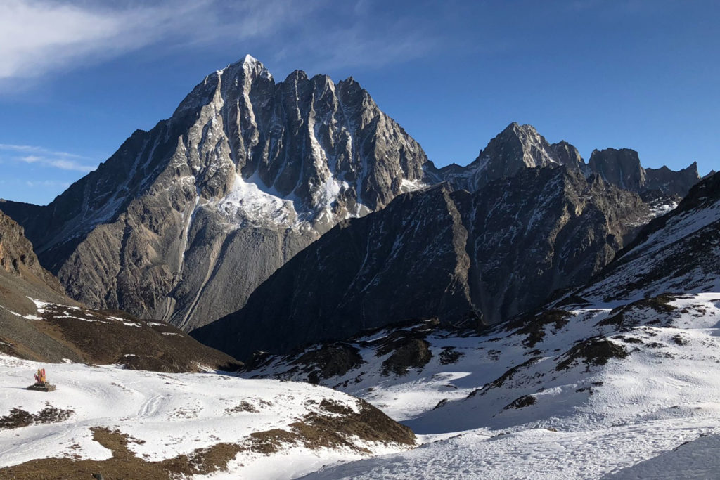
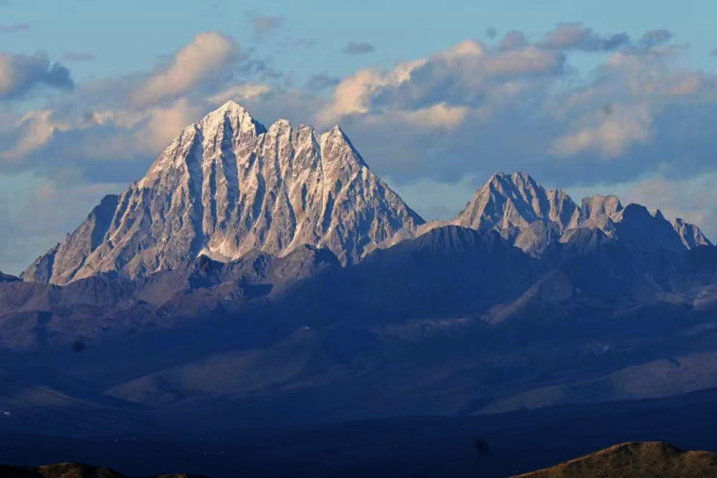
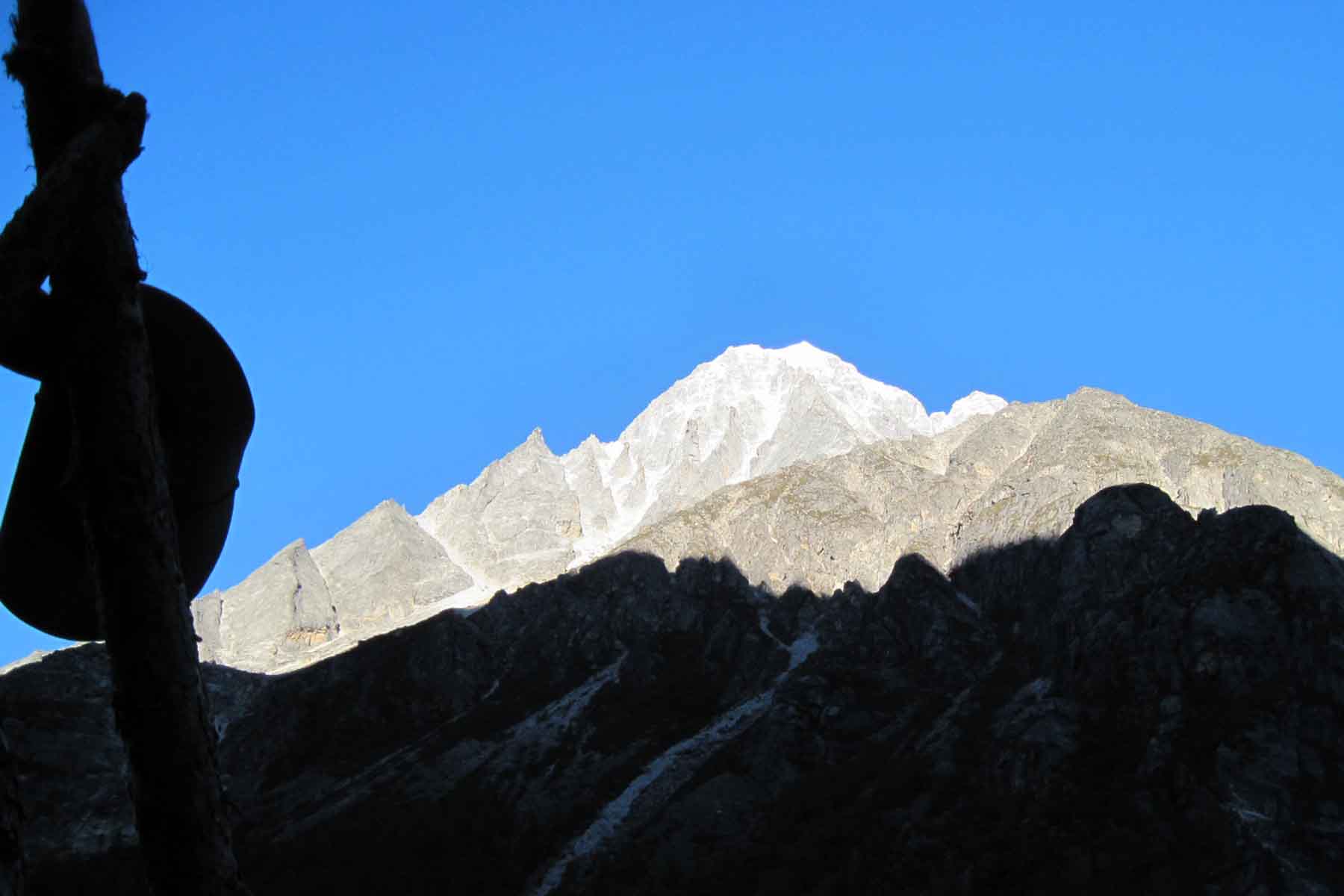
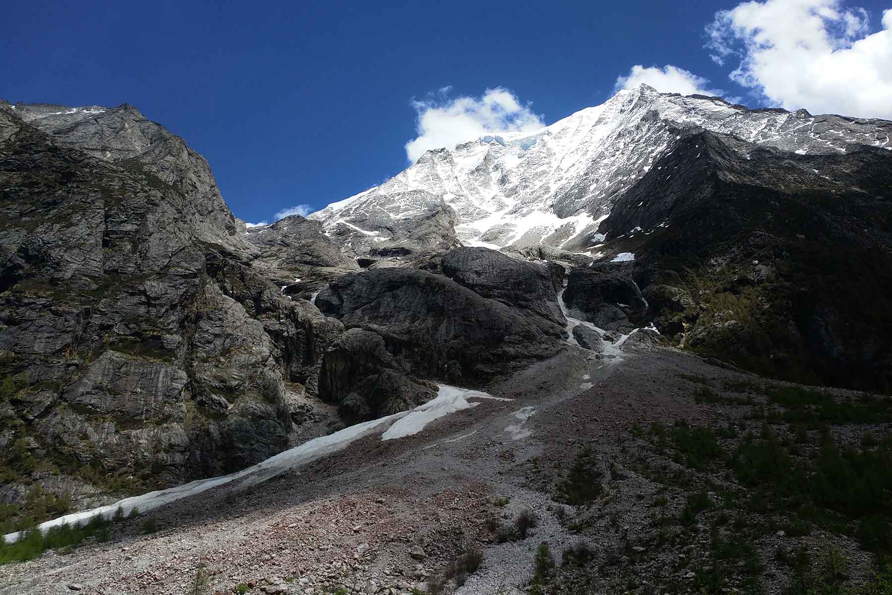
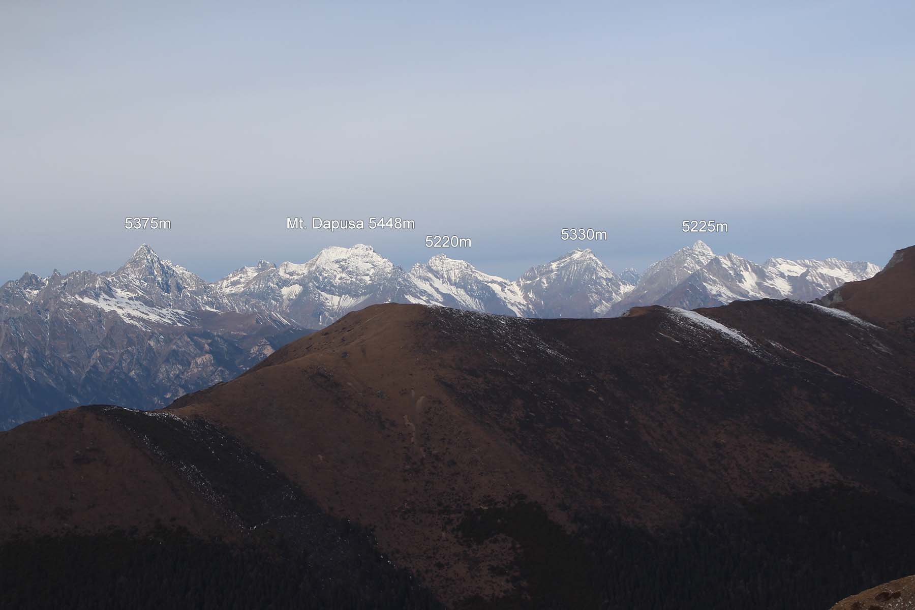
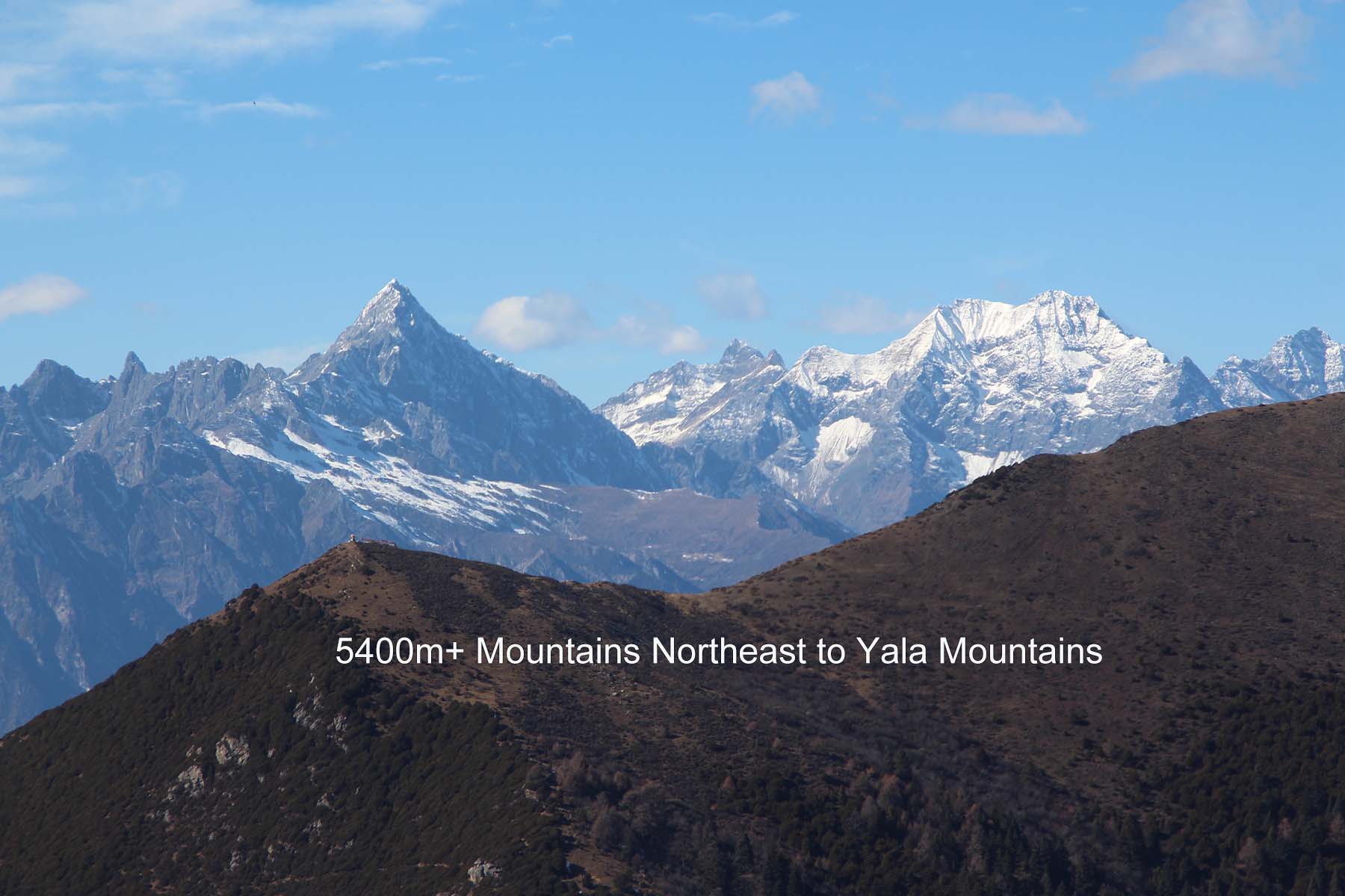
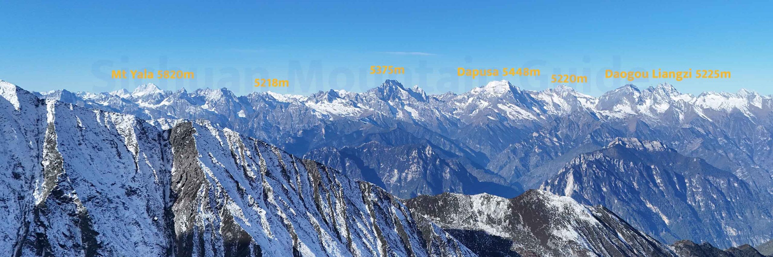
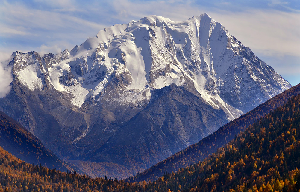
The northwestern region of the Daxueshan Range is a small mountain massif with its highest peak the Mt. Yala, or Mt. Jara, Zhara, Dapao Mountain or Yala Snow Mountain. The Yala Mountains are located in a local geological system called Haizi Mountains. From official documents and some resources it is also called Haizi Mountain. It’s top is at an altitude of 5885m, it is where the main peak Mt. Yala sits. The peaks are generally between 5000m-5500m. The number of peaks above 5000 meters is around 12. Except the main peak Mt. Yala, the rest are unexplored and unclimbed.
Yala Mountains is a branch lying northwest direction in Daxueshan Range. It is located at the junction of Kangding, Daofu, and Danba counties in Ganzi Prefecture, Sichuan, at an altitude of 5885 meters and northeast of it is Mt Merdo in Danba. The top of the mountain is covered with snow all year round. It is a famous mountain in Kham area of Sichuan. The Yala River that goes through Kangding is originated from here.
Locations
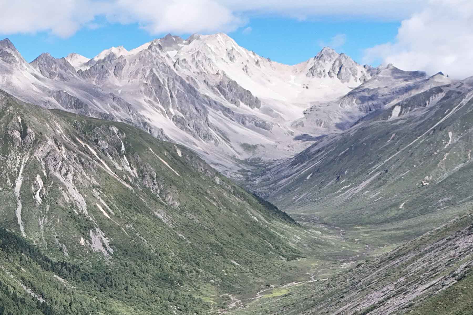
Mt. Yala is usually called Yala Snow Mountain, or Yala Holy Mountain by local people, is about 50 kilometers northwest to the city of Kangding. Drive along the Yala River for 1 hour to reach Zhonggu Village, and from Zhonggu Village on foot for about 25km/2 days, you can reach all east, north and west sides of Mt. Yala.
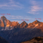
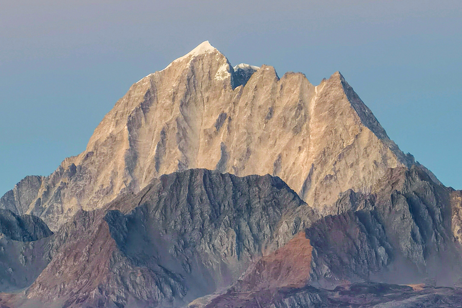
Mt. Yala, being the highest peak at 5885 meters among the mountains here, stands by the river junction where at its north the rivers go to Danba. There are several other peaks of 5,000 meters to 5,500 meters on the south ridge line of the main peak of Yala. Located on the southwest to the main peak on a minor adjacent ridgethere are several 5000+ meters peaks.
Climate and Climbing Season
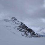
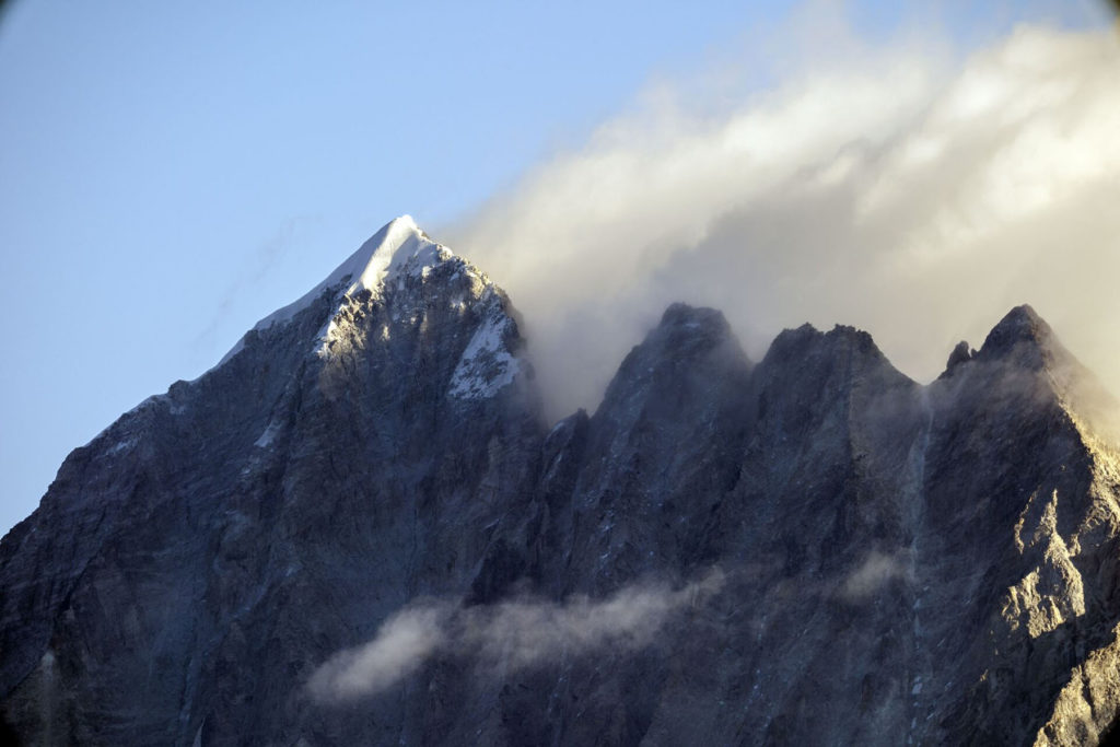
The climate of the Yala Snow Mountain is challenging. From May to September each year, the southwest monsoon sends warm and humid air currents, which turns into rain and falls. This is the rainy season in the region. From mid-September to mid-April of the following year is the dry season and usually the climbing season. The lowest temperature at the peak can reach around -50 ° C, and the maximum wind speed can reach more than 25 meters per second. Between May and September, due to warming snowmelt and precipitation, the water level in the river valley often rises. Former climbs were taken in place in August, September, October and November. Please note the north side of Mt. Yala, where it’s usually choose as the base camp, has a little different weather partern with Kangding due to the valley to its northeast to Danba from Dadu River where there are sometimes warm currects coming up.
Approaching
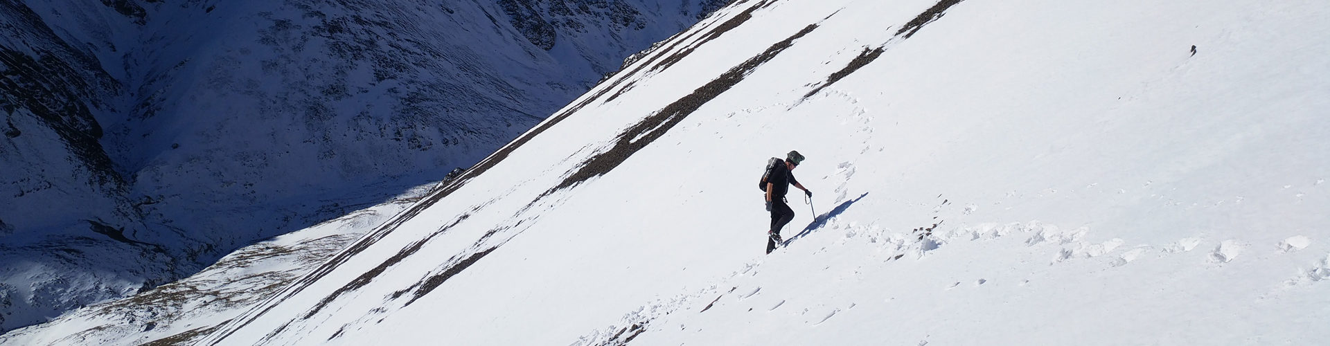
From Kangding you can reach to the north, east and west side of Mt. Yala. From Kangding to reach the base camp north of Mt. Yala takes about 2 hours by car, about 25km on foot, about 12-14 hours. From Kangding you can also reach the two valleys that are south to Mt. Yala where the other minor peaks are located.
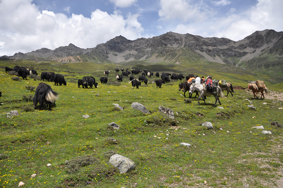
Aside from going in from Kangding, you can also enter this mountain from Danba from Yak Valley. From Danba it is further, you will spend more time on the car around 3 hours, but less time to approach on foot. From Danba to the base camp north of Mt. Yala it takes about 3-4 hours driving to Yak Valey End, and then about 4km on foot for about 2 hours.
Essential Locations
Kangding:
Kangding is a stopover place for this trip even though it means there are more walking involved. From Kangding it is 1 hour’s drive to road head in Zhonggu Village and from where it is another 25km on foot to reach the base of Mt. Yala. To go to the southern valleys of Yala Mountains, it may be less distance of walking but the trail can be steeper.
Danba:
Danba can be even a better place for stopover for Yala Mountains expedition. Drive to the road head takes about 10+ hour and from road head walk to the base of mountain is only 4km. It has shorter distance on foor to its north and west side.
Kangding Airport:
Mt. Yala is less than 15 kilometers straight from Kangding Airport (the top five highest airports in the world). You can even start this mountain directly from Kangding Airport. It takes about 3-4 hours to drive to Yala from the airport To the north of Mt. Yala at Yak Valley, then walk 2 hours to the north base camp.
North Base Camp:
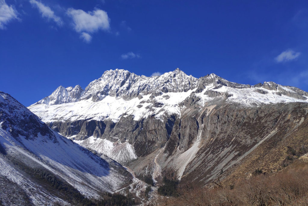
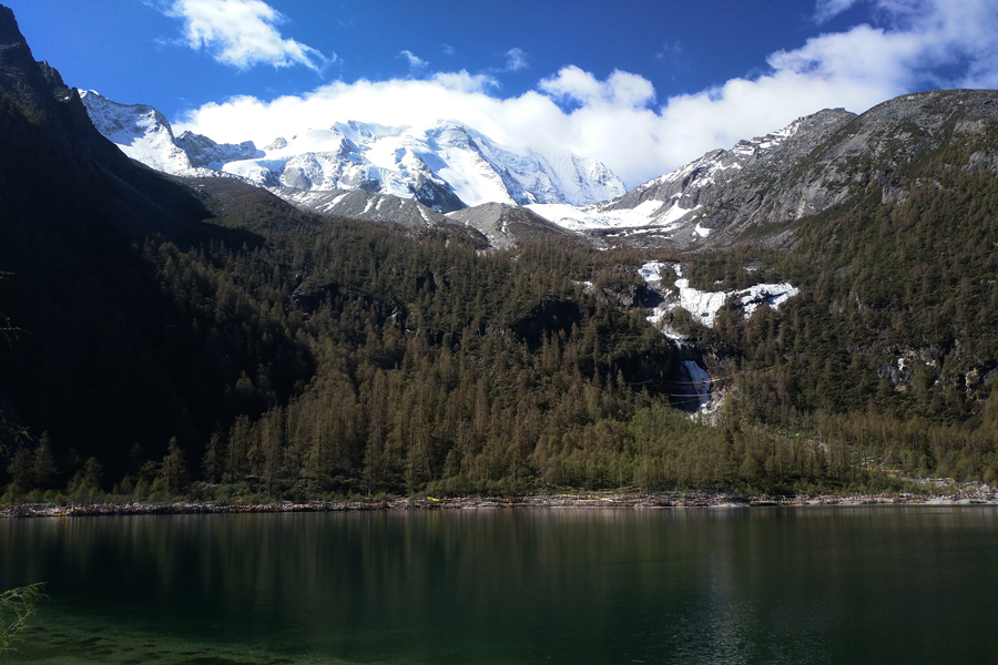
North Base Camp is at an altitude of 4,100 meters. It is located by the lake of Mt. Yala by the side of Yala Yomtso Lake. Most of the previous climbings of this mountain started from here.
Tagong:
Tagong is an interesting Tibetan Cultural village with rich Kham Tibetan authenticity. Located to the west of Yala Mountains and a religious center of Kham, it can a good place to have culture immersion. 链接
Significance As a Holy Mountain
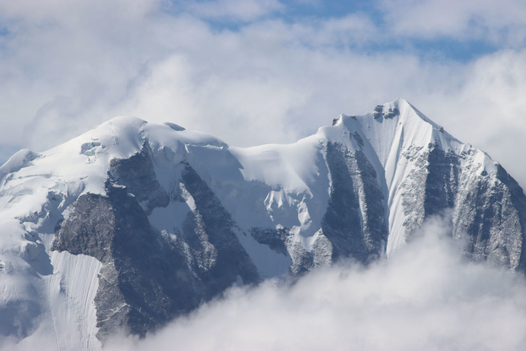
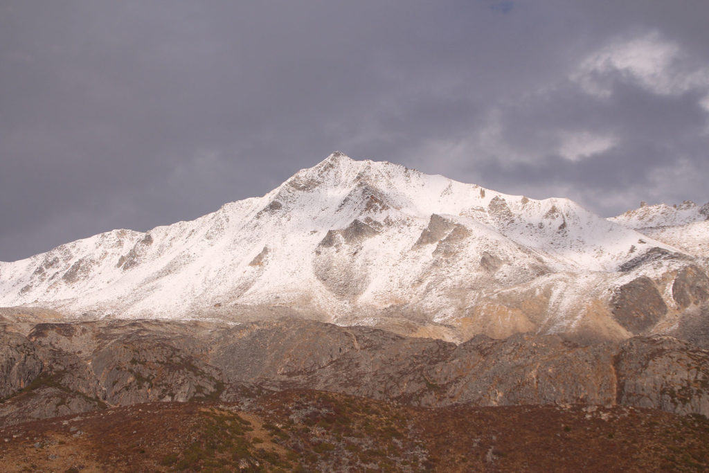
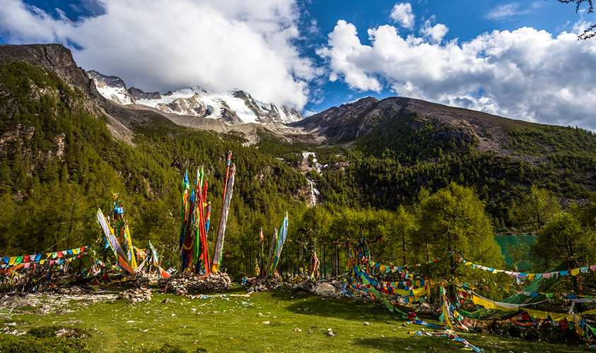
The Yala Snow Mountain has a high religious status in the Tibetan area. The Yala Mountain is located at the junction of the three counties in Kangding, Daohu, and Danba in Ganzi Prefecture, Sichuan Province. It is opposite to the northwest of the Merdo Mountain in Danba. The main peak Mt. Yala is 5886 meters above sea level. The mountain top is covered with snow all year round. The Yala River originated from this mountain and merged into the Dadu River. Around the Yala Mountains, there are dozens of valleys with beautiful scenery. Yala Mountain is a holy place for spiritual practice among local people. For hundreds of years, Buddhist monks have meditated in the mountains, leaving hundreds of meditation caves here. There are many hot springs in the mountains, most of which are “Beluzana”-“Fuzang Hot Springs”. If you can bathe in the spring water, you can quickly remove the deep karma. In addition, there are many lakes scattered throughout the mountains, the most famous of which is “Yala Yomtso Lake”. “Yala Yomtso” means “Tuiquoise Lake”, a lake that looks very transparent, blue and pure like an emerald. This sacred mountain has an important position in the whole Tibetan area.
Climbing History
Former climbs of the main peak of Yala Mountains is on its north and northeast. At present, most attempts were conducted from its north.
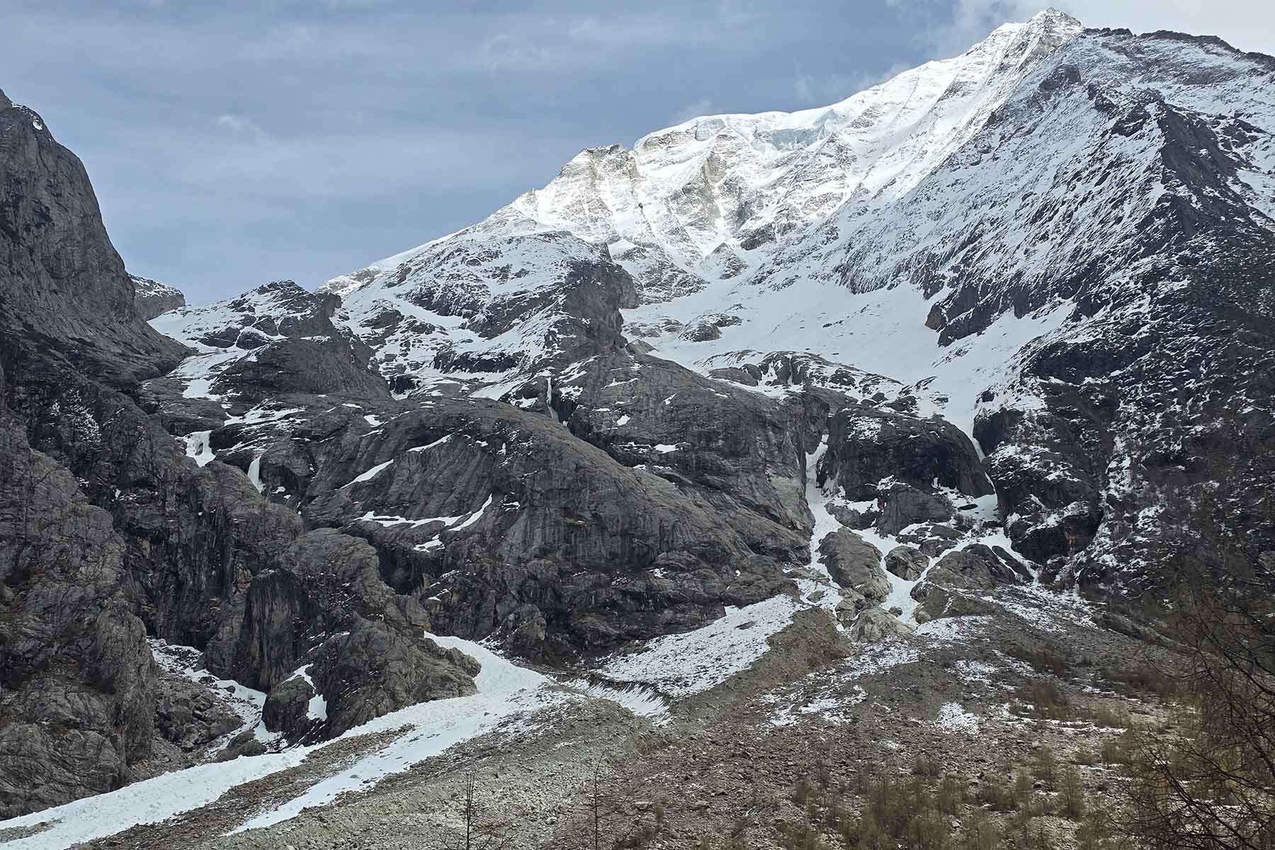
Mt. Yala’s climbing is considered trying. In August 1999, an expedition team from Japan tried to climb without success. In 2002, two British climbers failed to reach the summit, and in November 2003, a Korean climbing team did not reach the summit. In 2005 a Chinese team tried from its west side on a more rock-mixed climb and reached 5600 meters. In 2006 an American team tried from the north and reached the col of 2004 attempt. Same year in October it was then first summited by a Newzealand team from its north.
Mt. Yala – Tagong Grassland Hiking
A trekking trip from Kangding to Tagong is not a well-known hiking among visitors to Sichuan but it is a really beautiful hiking and camping adventure. A suggested hiking itinerary has 5 days of hiking going in from Kangding and coming out at Tagong, visiting totally wild valleys, Mt. Yala and authentic Buddhist town of Tagong. It is a very good hiking trip. The campsites are all very nice and the walking is not very strenuous.