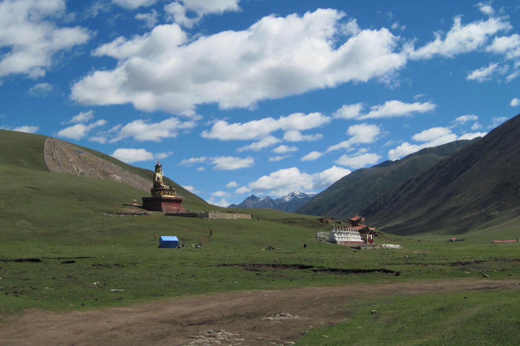
Daofu County is in the pricinct of Ganzi Tibetan Autonomous Prefecture of Sichuan Province. It is located in the northwest of Sichuan Province and the northeast of Ganzi Prefecture. Geographical coordinates are 100 ° 32′-101 ° 44 ′ east longitude and 32 ° 21′-30 ° 32 ′ north latitude. It is located on the southeastern edge of the Qinghai-Tibet Plateau. It is connected to Danba in the east, Xinlong County in the west, Kangding County and Yajiang County in the south, and Jinhuo and Yangtang counties in Luhuo and Aba Prefecture to the north.
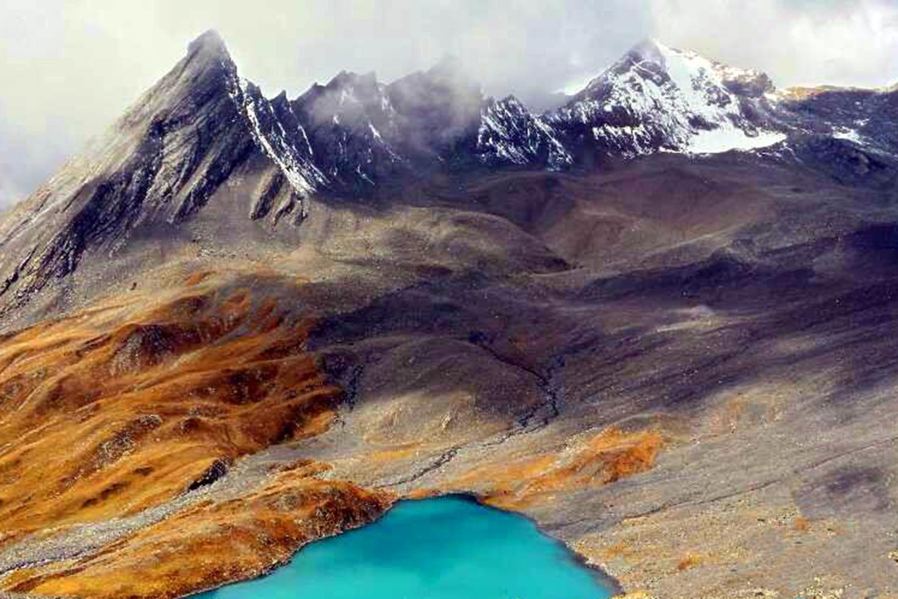
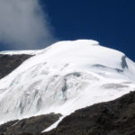
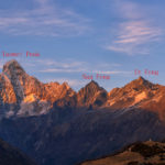
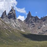
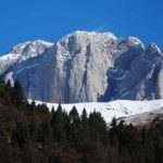
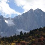
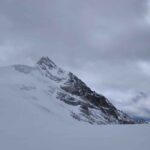
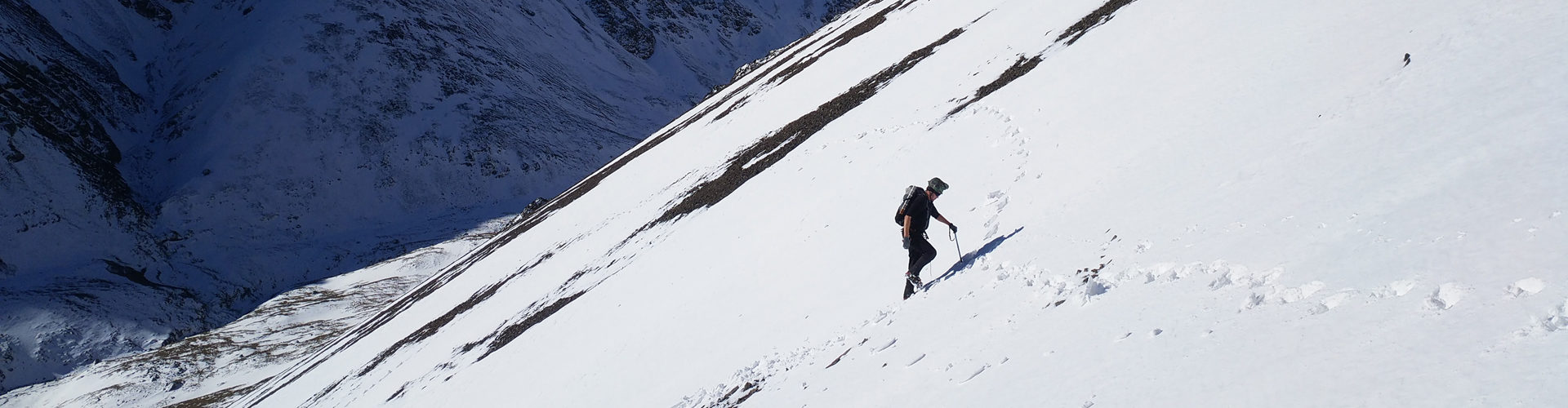
Daxue Mountain extends from the northeast to enter Bairi Mountain, a branch of Henggen Mountain, and becomes the main watershed in Daofu County. There are 107 named mountainsin the territory. The highest altitude is 5820 meters M. Yala, the lowest altitude is 2670 meters, and the average altitude is 3245 meters across Dawu. Daofu is the stopover place for Xiaqiangla west approach.
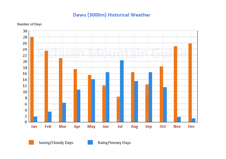
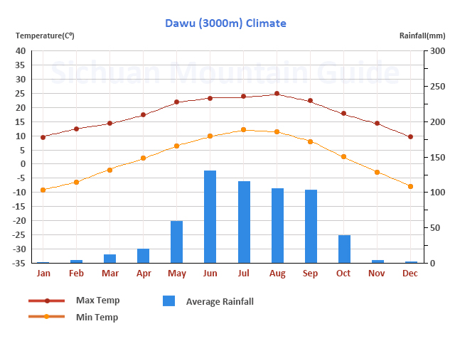
Daofu County is located in the cold-temperate continental monsoon climate zone. The annual average temperature is 8.2 ℃, the annual minimum temperature is minus 14.3 ℃, and the annual maximum temperature is 29.9 ℃. The average annual rainfall is 633.6 millimeters, the average sunshine is 2296.95 hours, the average frost-free period is about 113 days, and the temperature difference between day and night is large. Its characteristics are that spring and summer are not clear, winter is long and summer is short, and winter is cold and dry.
Within the town of Dawu there has been lots of reconstruction in recent years. The many hotels are built to expect to accommodate more travelers here and due to its flat terrain by the town, the city has built a complete new part of the town. There is also a big hospital in town and many restaurants and shops available.