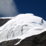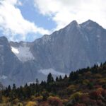
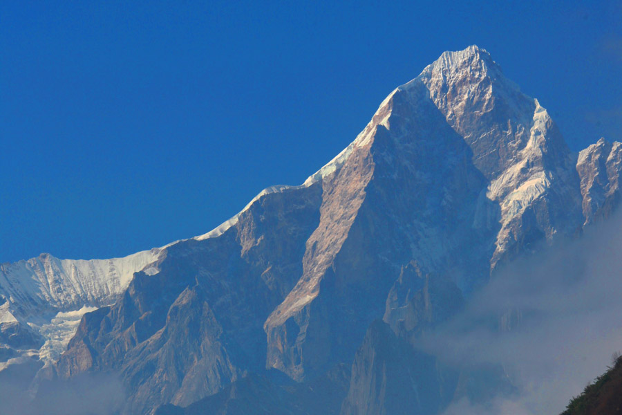
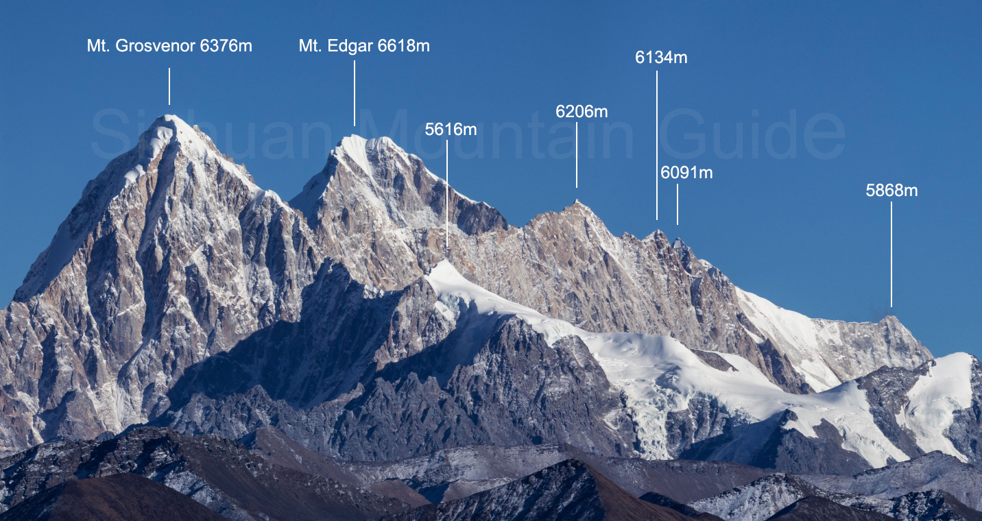
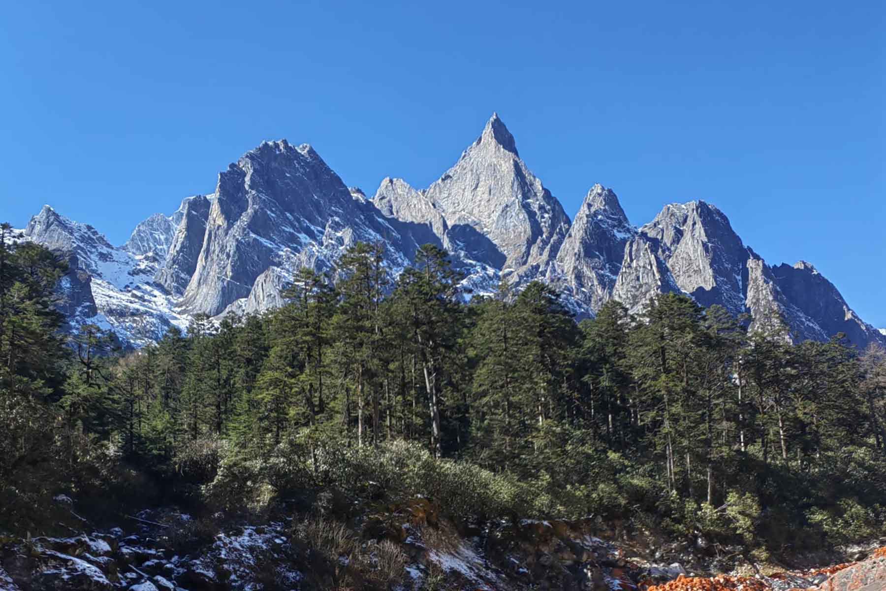
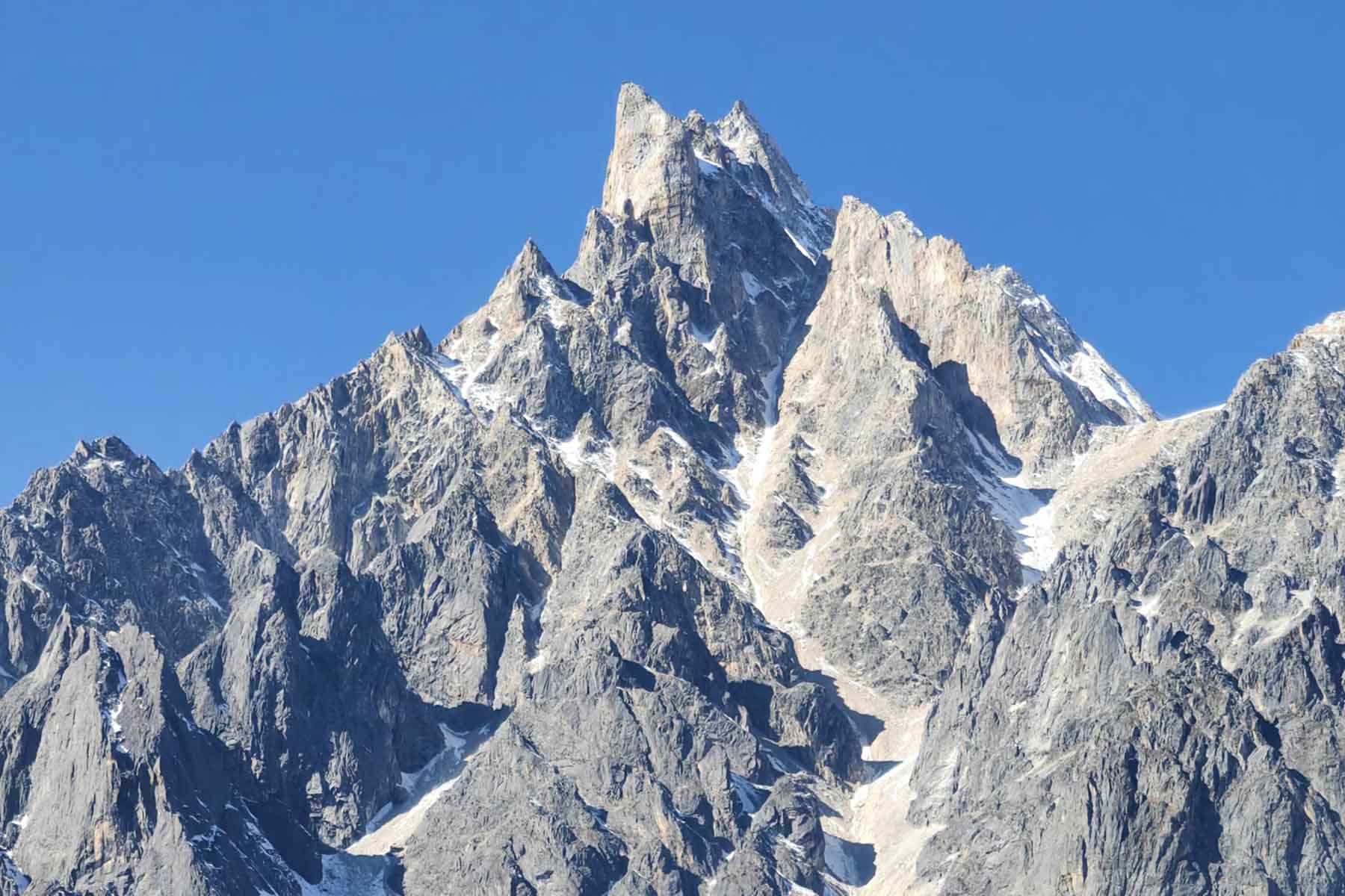
Mount Edgar is one of the highest mountains in Minya Konka massif. It is 6618 meters’ high. Mt. Edgar is sometimes refered as E-Gongga. It is approached from the east normally from Yanzigou Valley and Nanmenguangou Valley.
Mt. Edgar or Mt.Aideja, is located in Luding County of Garze in Minya Konka Range, Sichuan Province. Mt. Edger is a 6618-meter mountain at longitude of 101.54 degrees, and latitude of 29.44. The Yanzigou Glacier and Nanmenguangou Glacier surround both sides of this massive mountain. This mountain peak can be observed from Yanzigou, Nanmenguangou by its east and Yumo Highway by its northeast. Mt. Edger is one of the most challenging mountains in MInya Konka Range.
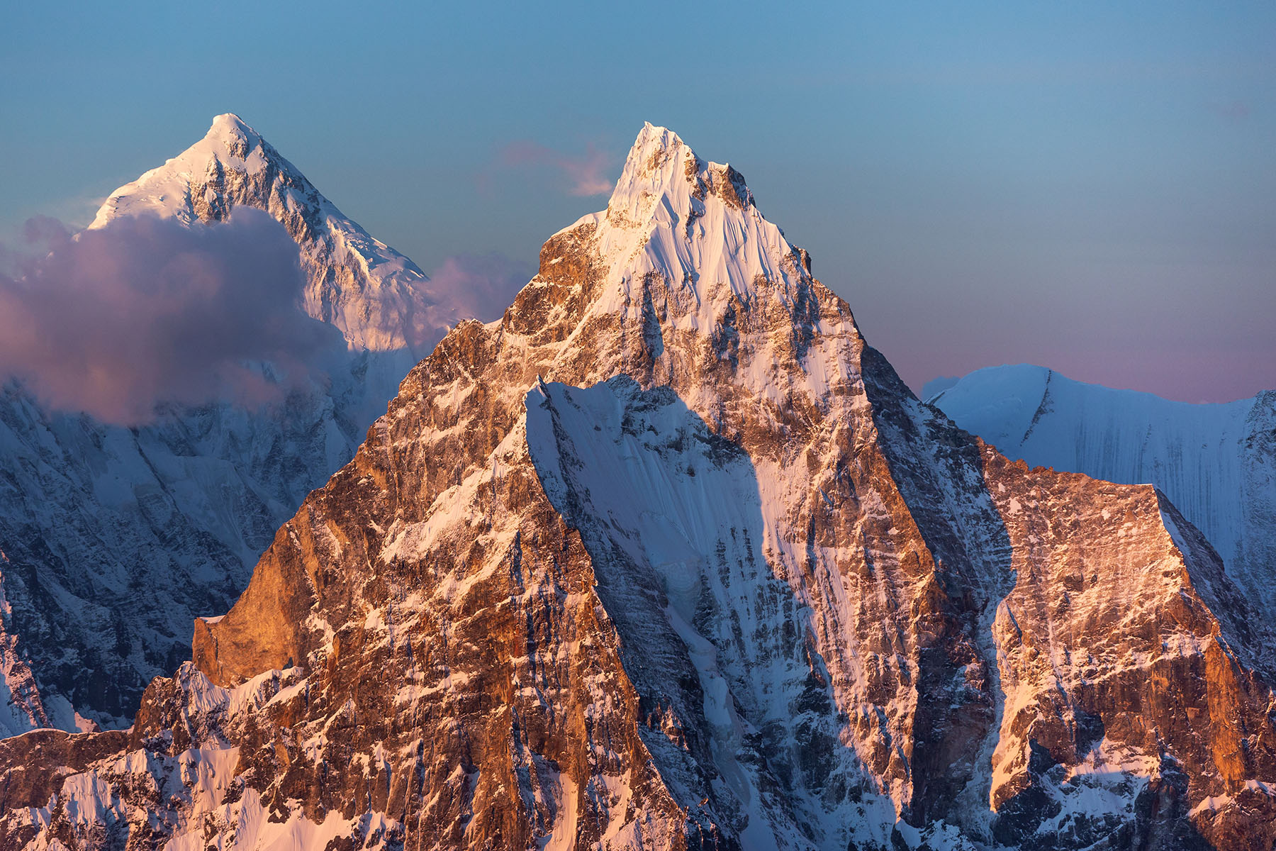
At the end of the Qing Dynasty and the beginning of the Republic of China, there was a British priest named Edger, who explored the Kangding area and saw the mountains. It is known as MInya Konka. Later, he met the American explorer Joseph Rock in Chengdu and told him about the mountains. In 1930, Joseph Rock traveled from Lijiang, Yunnan to Kangding and Yulongxi (west of Minya Konka Range). And named seven prominent peaks of Minya Konka. The estimated height, along with travel notes were later published in an American National Geographic magazine. This is when these mountains started to draw the attention of the world. In honor of priest Edger’s guidance, Rock named this mountain at 6,618 meters above sea level as Mt. Edgar when he was giving names to the mountains of Minya Konka in his book.
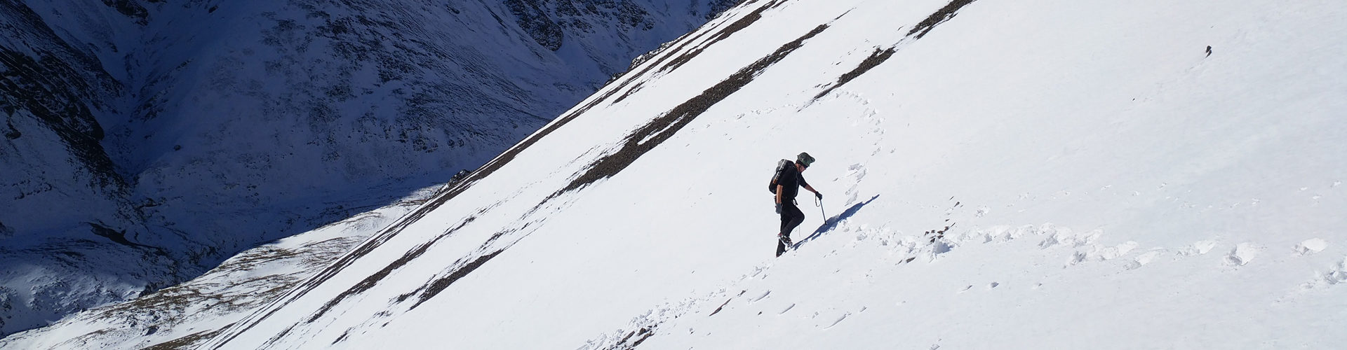
It has been attempted from all sides. First recorded summit was made in 2001 and second in 2010.
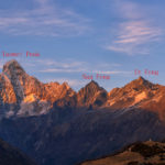
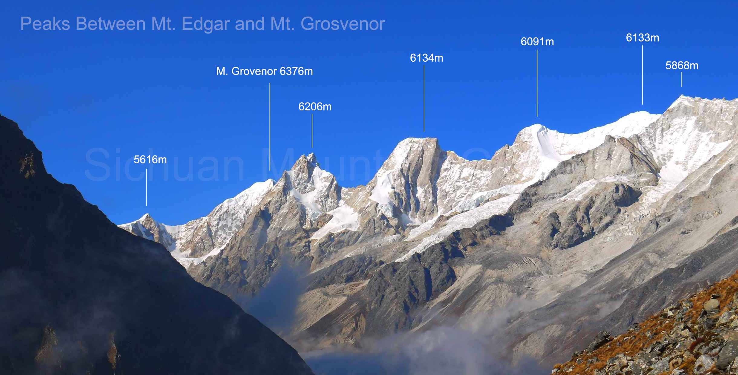
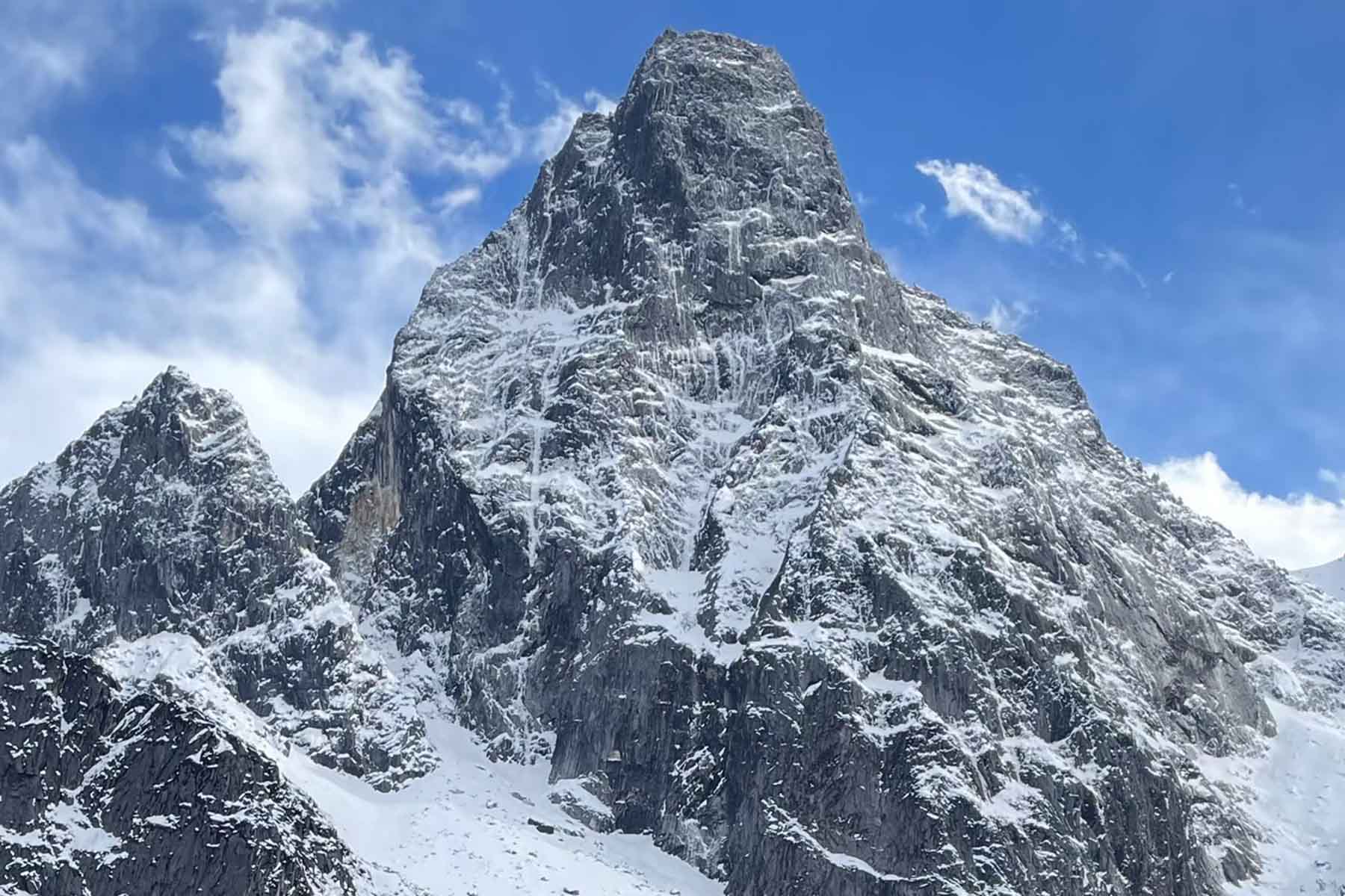
There are 5 peaks on the ridge between Mt. Edgar and Mt. Grosvenor that are usually not visible from both sides. A team climbed south wall of a 6134-m mountain on a trip to Edgar. The other 4 peaks are not even attempted according to local records.
Recorded Climbing Routes
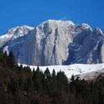
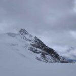
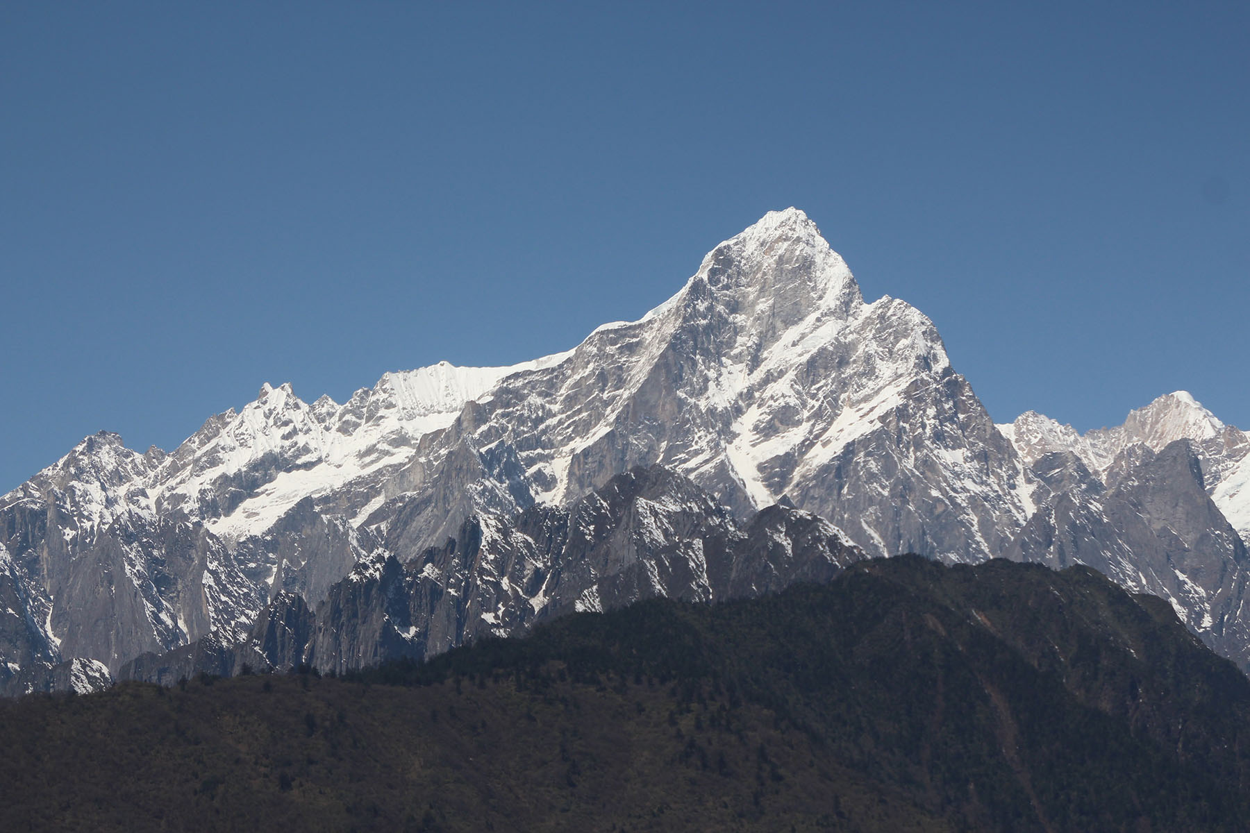
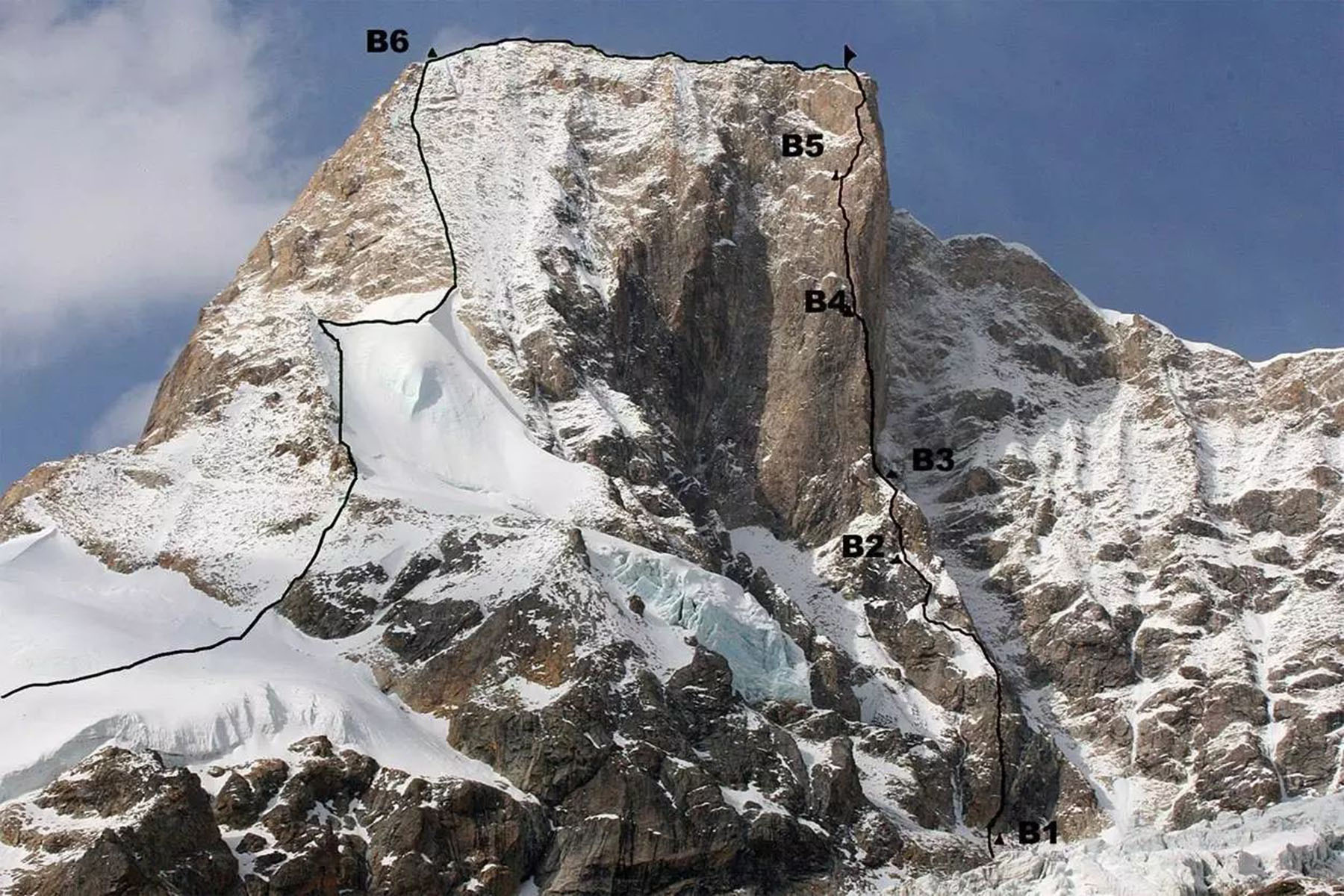
West Route by Kim Jai-Myong.East wall to Southeast ridge by Kyle Dempster and Bruce Normand. Other routes: Mt. Edger has its east side, north side and west side with big walls. South of Edger is ice/hanging ice and rock mixed. There are three ridge lines: northest, northwest and southwest ridgelines.
Former climbs to Mt. Edgar were all conducted in April/May and October/November.
Climbing History
In 1981 when the mountains in China were available to climb, a British team made the first attempt.
In 2000 and 2001, Korean teams made two summits via different routes. First time from north side and second from west side.
In 2009 there were two teams climbing Mt. Edger. The Russian team attempted from southeast wall and changed their plan to climb the 6134-meter mountain. The American team also attempted its southeast wall and lost in an avalanche.In 2010 Kyle Dempster and Bruce Normand made a successful summit via east side of Mt. Edger after their new route on Mt. Grosvenor. It was the second successful summit ever recorded of Mt. Edger.
Approaching
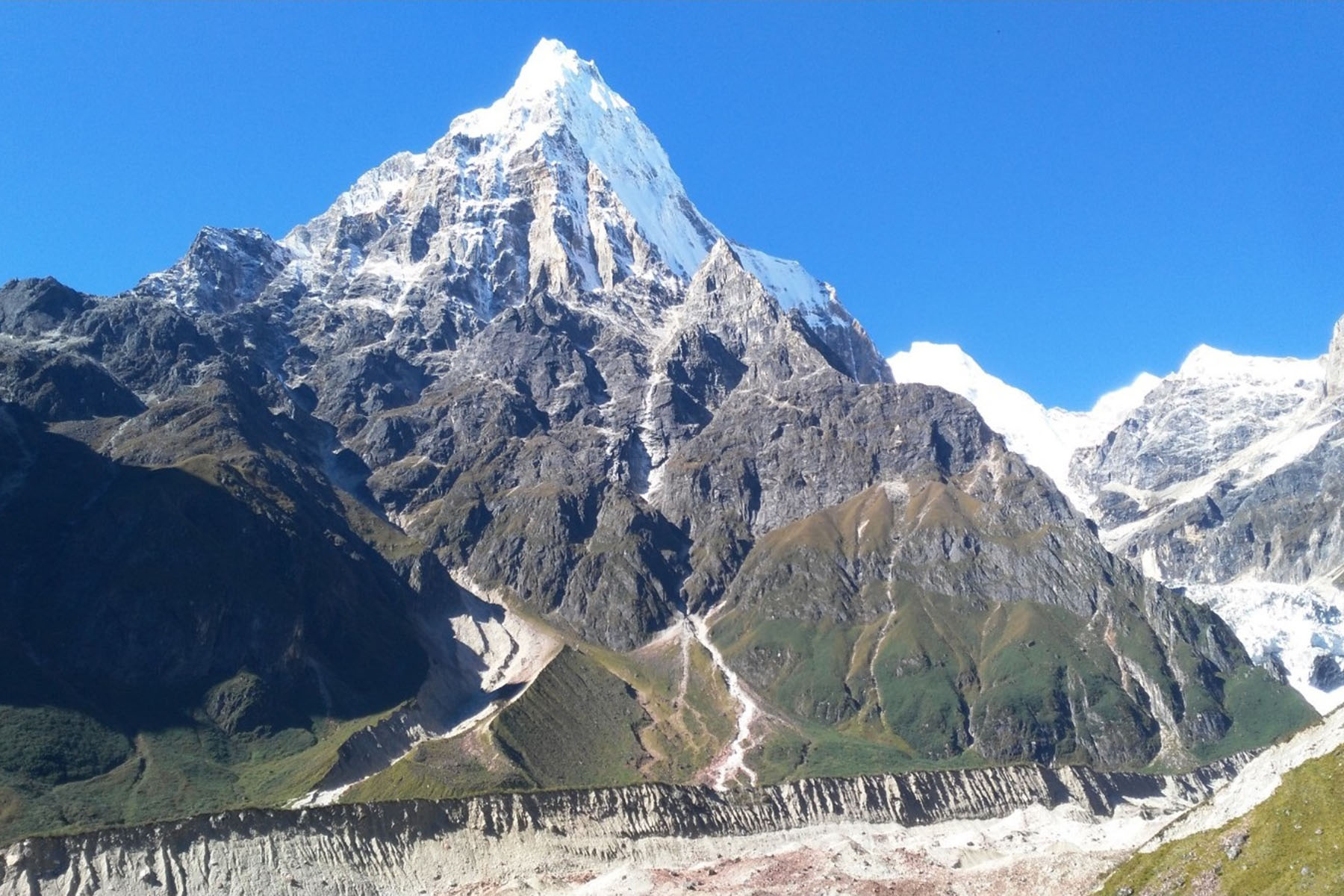
Former attempts all approahed from its east. There are two valleys east to Mt. Edger. One is Yanzigou and now a tourist park from where you can reach the east, southeast and south base of Mt. Edger. The other valley is called Nanmenguan, which allowed you to get to the base of its north and west side.